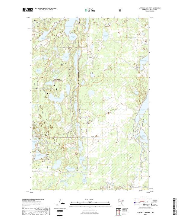
2022 Map of Lawrence Lake West
USGS Topo · Published 2022About this map
The Chippewa National Forest dominates this landscape in Itasca County, defined by a dense network of glacial lakes and wetlands. The drainage of the Prairie River and its tributaries, such as Clearwater Cr and Wabana Cr, flows through a region heavily utilized for recreation and conservation. Public access is facilitated by primitive routes like Wilderness Trl and Wabana Forest Trl, alongside modern arteries like the Scenic Hwy.
Find a feature on this map
55 named features on this map. Tap any name to fly to it.
Don’t see what you’re looking for? This feature index may not catch every label — zoom into the map to look around manually.
Map Details
Editions of this 2022 Lawrence Lake West Map
This is the sole edition of this map. No revisions or reprints were ever made.
Other maps of this area

1919 · Release
USGS Topo · 1:62,500

1919 · Marcell
USGS Topo · 1:62,500

1920 · Trout Lake
USGS Topo · 1:62,500

1943 · Release
USGS Topo · 1:62,500

1952 · Calumet
USGS Topo · 1:24,000

1952 · Bovey
USGS Topo · 1:24,000

1953 · Cohasset East
USGS Topo · 1:24,000

1954 · Hibbing
USGS Topo · 1:250,000

1957 · Hibbing
USGS Topo · 1:250,000

1958 · Hibbing
USGS Topo · 1:250,000