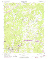
1963 Map of Lawrenceville
USGS Topo · Published 1974About this map
Lawrenceville serves as the focal point of this Brunswick County landscape, where the campus of St Pauls College and significant local landmarks like Oakwood Cem and the Lawrenceville Cem anchor the community. The town’s position at a crossroads of mid-century infrastructure is evident, with the Norfolk and Western and Seaboard Coast Line railroads cutting across the terrain, reflecting the area's historical reliance on rail transport for agricultural and regional commerce.
Find a feature on this map
44 named features on this map. Tap any name to fly to it.
Don’t see what you’re looking for? This feature index may not catch every label — zoom into the map to look around manually.
Map Details
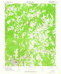
Editions of this 1963 Lawrenceville Map
2 editions found
Other maps of this area

1918 · Lawrenceville
USGS Topo · 1:62,500

1919 · Mc Kenney
USGS Topo · 1:48,000

1919 · White Plains
USGS Topo · 1:48,000

1919 · Emporia
USGS Topo · 1:62,500

1920 · Lawrenceville
USGS Topo · 1:48,000

1920 · White Plains
USGS Topo · 1:62,500

1921 · Mc Kenney
USGS Topo · 1:62,500

1921 · Lawrenceville
USGS Topo · 1:62,500

1942 · Lawrenceville
USGS Topo · 1:62,500

1942 · Emporia
USGS Topo · 1:62,500