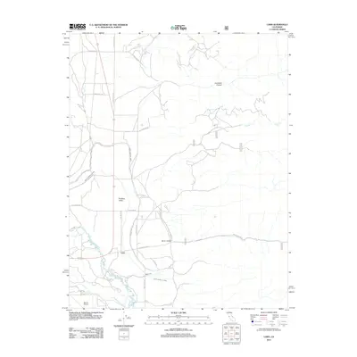
2012 Map of Laws
USGS Topo · Published 2012About this map
Laws and the high desert landscape of Chalfant Valley characterize this 2012 topographic record of the Owens Valley. The irrigation infrastructure essential to the region's development is prominently featured, including the North McNally Canal, South McNally Canal, and the historic Laws Ditch, which redirect water from the Owens River. These waterways parallel the Chalfant Loop Rd and the path of the Owens Valley's early transportation corridors.
Find a feature on this map
21 named features on this map. Tap any name to fly to it.
Don’t see what you’re looking for? This feature index may not catch every label — zoom into the map to look around manually.
Map Details
Editions of this 2012 Laws Map
This is the sole edition of this map. No revisions or reprints were ever made.
Other maps of this area

1913 · Bishop
USGS Topo · 1:125,000

1917 · White Mountain
USGS Topo · 1:125,000

1947 · Mariposa
USGS Topo · 1:250,000

1948 · Mariposa
USGS Topo · 1:250,000

1949 · Bishop
USGS Topo · 1:62,500

1951 · Bishop
USGS Topo · 1:62,500

1951 · Blanco Mountain
USGS Topo · 1:62,500

1957 · Mariposa
USGS Topo · 1:250,000

1962 · Mt. Barcroft
USGS Topo · 1:62,500

1962 · White Mtn. Peak
USGS Topo · 1:62,500