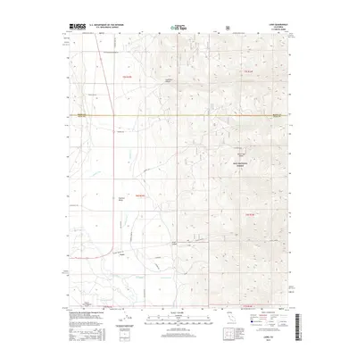
2015 Map of Laws
USGS Topo · Published 2015About this map
The Owens River and an intricate network of irrigation channels like S McNally Canal, N McNally Canal, and Laws Ditch define this high-desert landscape at the foot of the White-Inyo Range. In the southern portion of the sheet, the settlement of Laws serves as a focal point near the Eastern Sierra Regional Airport, where the valley floor meets the rising slopes of the Inyo National Forest. This 2015 edition documents the continued importance of water management in the region, with the Geiger Canal and various named ditches supporting the small communities of Chalfant Valley and Silver Canyon. Local transport is anchored by a grid of named roads including Laws Poleta Rd and Churchill Mine Rd, which provide access to the rugged canyons of Gunter Cyn and Silver Canyon to the east.
Find a feature on this map
34 named features on this map. Tap any name to fly to it.
Don’t see what you’re looking for? This feature index may not catch every label — zoom into the map to look around manually.
Map Details
Editions of this 2015 Laws Map
This is the sole edition of this map. No revisions or reprints were ever made.
Other maps of this area

1913 · Bishop
USGS Topo · 1:125,000

1917 · White Mountain
USGS Topo · 1:125,000

1947 · Mariposa
USGS Topo · 1:250,000

1948 · Mariposa
USGS Topo · 1:250,000

1949 · Bishop
USGS Topo · 1:62,500

1951 · Bishop
USGS Topo · 1:62,500

1951 · Blanco Mountain
USGS Topo · 1:62,500

1957 · Mariposa
USGS Topo · 1:250,000

1962 · Mt. Barcroft
USGS Topo · 1:62,500

1962 · White Mtn. Peak
USGS Topo · 1:62,500