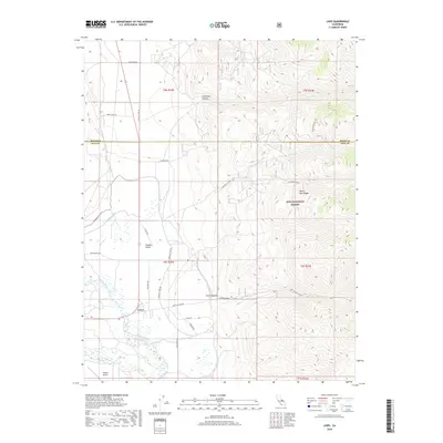
2018 Map of Laws
USGS Topo · Published 2018About this map
Laws and the neighboring Chalfant Valley occupy the arid basin floor at the base of the White-Inyo Range. This landscape is defined by its complex water management systems, where the Owens River and Queens River are diverted into an intricate network of man-made channels including the N McNally Canal, Lower McNally Canal, and Geiger Canal. These waterworks stand in contrast to the stark, rising terrain of the Inyo National Forest to the east.
Find a feature on this map
38 named features on this map. Tap any name to fly to it.
Don’t see what you’re looking for? This feature index may not catch every label — zoom into the map to look around manually.
Map Details
Editions of this 2018 Laws Map
This is the sole edition of this map. No revisions or reprints were ever made.
Other maps of this area

1913 · Bishop
USGS Topo · 1:125,000

1917 · White Mountain
USGS Topo · 1:125,000

1947 · Mariposa
USGS Topo · 1:250,000

1948 · Mariposa
USGS Topo · 1:250,000

1949 · Bishop
USGS Topo · 1:62,500

1951 · Bishop
USGS Topo · 1:62,500

1951 · Blanco Mountain
USGS Topo · 1:62,500

1957 · Mariposa
USGS Topo · 1:250,000

1962 · Mt. Barcroft
USGS Topo · 1:62,500

1962 · White Mtn. Peak
USGS Topo · 1:62,500