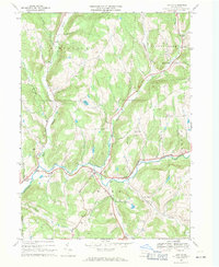
1967 Map of Lawton
USGS Topo · Published 1971About this map
Wyalusing Creek serves as the central drainage for this Susquehanna County landscape, where the small settlements of Lawton and Rush sit at the confluence of several waterway branches. The mid-1960s terrain is marked by a legacy of local extraction, with numerous quarries and gravel pits scattered near the Middle Branch and North Branch. Genealogists will find a high density of rural burial sites, including Stedwell Cem, Devine Ridge Cem, and the Rush Center Memorial Park. The presence of the County Home and its associated County Home Cem near Deer Lick Creek points to the social infrastructure of the era. Upland areas like Devine Ridge and Fowler Hill separate the various creek valleys, while religious life is anchored by St Johns Ch and St Patricks Ch, which remain key landmarks for those tracing the area's family history.
Find a feature on this map
47 named features on this map. Tap any name to fly to it.
Don’t see what you’re looking for? This feature index may not catch every label — zoom into the map to look around manually.
Map Details
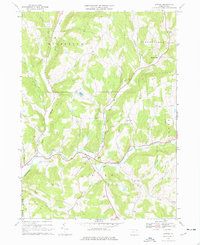
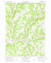
Editions of this 1967 Lawton Map
Other maps of this area

1943 · Montrose
USGS Topo · 1:62,500

1943 · Le Raysville
USGS Topo · 1:62,500

1945 · Montrose
USGS Topo · 1:62,500

1945 · Le Raysville
USGS Topo · 1:62,500

1945 · Meshoppen
USGS Topo · 1:62,500

1945 · Auburn Center
USGS Topo · 1:24,000

1945 · Laceyville
USGS Topo · 1:24,000

1946 · Tunkhannock
USGS Topo · 1:62,500

1946 · Springville
USGS Topo · 1:24,000
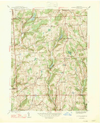
1947 · Auburn Center
USGS Topo · 1:31,680