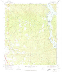
1971 Map of Lay Dam
USGS Topo · Published 1974About this map
Lay Dam and its associated powerplant dominate the hydro-industrial landscape along the Coosa River on the border of Coosa and Chilton counties. The river is transformed here into the expansive Lay Lake and Mitchell Lake, divided by the dam and dotted with features like Ware Island and the Foshee Islands. Away from the water, the settlement of Jumbo and a network of rural congregations such as Mt Zion Ch and Mt Bethel Ch reflect the area's social fabric in the early 1970s.
Find a feature on this map
47 named features on this map. Tap any name to fly to it.
Don’t see what you’re looking for? This feature index may not catch every label — zoom into the map to look around manually.
Map Details
Editions of this 1971 Lay Dam Map
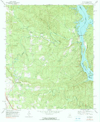
2 editions found
Other maps of this area

1890 · Bessemer
USGS Topo · 1:125,000

1890 · Talladega
USGS Topo · 1:125,000

1891 · Clanton
USGS Topo · 1:125,000

1892 · Talladega
USGS Topo · 1:125,000

1892 · Bessemer
USGS Topo · 1:125,000

1901 · Wetumpka
USGS Topo · 1:125,000

1903 · Wetumpka
USGS Topo · 1:125,000

1909 · Columbiana
USGS Topo · 1:62,500

1911 · Columbiana
USGS Topo · 1:62,500

1915 · Gantts Quarry
USGS Topo · 1:48,000