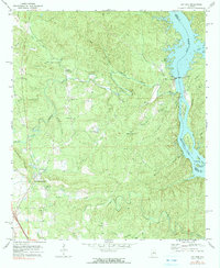
1971 Map of Lay Dam
USGS Topo · Published 1991About this map
The Coosa River dominates this landscape along the border of Chilton and Coosa counties, harnessed by the massive industrial presence of Lay Dam and its associated powerplant. The resulting reservoirs, Lay Lake and Mitchell Lake, create a complex shoreline dotted with landmarks like Ware Island and Gilchrist Island. Away from the river, the interior reveals a network of small agricultural communities and family settlements connected by rural roads. Local genealogy is well-represented through numerous country churches including Mt Zion Ch, Mt Bethel Ch, and New Hope Ch, alongside small settlements like Jumbo and Pinedale. The topography is defined by the winding course of Yellow Leaf Creek and the notable Gap of the Mountain, where the terrain transitions toward the water, formerly crossed by Mims Ferry downstream from the dam.
Find a feature on this map
44 named features on this map. Tap any name to fly to it.
Don’t see what you’re looking for? This feature index may not catch every label — zoom into the map to look around manually.
Map Details
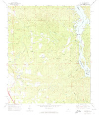
Editions of this 1971 Lay Dam Map
2 editions found
Other maps of this area

1890 · Bessemer
USGS Topo · 1:125,000

1890 · Talladega
USGS Topo · 1:125,000

1891 · Clanton
USGS Topo · 1:125,000

1892 · Talladega
USGS Topo · 1:125,000

1892 · Bessemer
USGS Topo · 1:125,000

1901 · Wetumpka
USGS Topo · 1:125,000

1903 · Wetumpka
USGS Topo · 1:125,000

1909 · Columbiana
USGS Topo · 1:62,500

1911 · Columbiana
USGS Topo · 1:62,500

1915 · Gantts Quarry
USGS Topo · 1:48,000