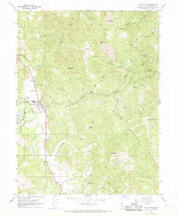
1967 Map of Laytonville
USGS Topo · Published 1969About this map
Laytonville sits at the heart of this late-1960s survey, serving as a hub along the 101 corridor through northern Mendocino County. The landscape is defined by the transition from the relatively level agricultural lands of Long Valley Creek to the sharp relief of Holmen Ridge and Woodman Peak. Cultural features like the High Sch, Laytonville Cem, and the Laytonville Rancheria indicate a well-established community alongside the older site of Cahto. Local aviation and safety infrastructure are clearly marked by the Landing Strip, Sloan Landing Strip, and a Fire Control Station. The rugged interior is crisscrossed by numerous waterways, including Bear Pen Canyon and Tenmile Creek, while remote springs such as Piggy Springs and Meyers Spring suggest the area's history of ranching and resource management.
Find a feature on this map
41 named features on this map. Tap any name to fly to it.
Don’t see what you’re looking for? This feature index may not catch every label — zoom into the map to look around manually.
Map Details
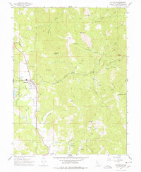
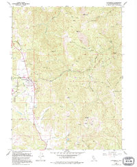
Editions of this 1967 Laytonville Map
3 editions found
Other maps of this area

1920 · Cummings
USGS Topo · 1:62,500

1920 · Covelo
USGS Topo · 1:62,500

1921 · Branscomb
USGS Topo · 1:62,500

1951 · Branscomb
USGS Topo · 1:62,500

1951 · Laytonville
USGS Topo · 1:62,500

1952 · Spyrock
USGS Topo · 1:62,500

1952 · Leggett
USGS Topo · 1:62,500

1957 · Ukiah
USGS Topo · 1:250,000

1960 · Ukiah
USGS Topo · 1:250,000
1966 · Longvale
USGS Topo · 1:24,000