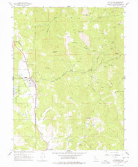
1967 Map of Laytonville
USGS Topo · Published 1978About this map
Laytonville serves as the primary hub of this Northern California landscape during the mid-1960s, situated at the junction of the valley floor and the surrounding ridges. The settlement is well-documented with civic infrastructure including a High Sch, a Substation, and a Fire Control Station. Nearby, the Laytonville Rancheria and the Laytonville Cem sit west of the main thoroughfare, while the smaller settlement of Cahto marks the valley's edge.
Find a feature on this map
54 named features on this map. Tap any name to fly to it.
Don’t see what you’re looking for? This feature index may not catch every label — zoom into the map to look around manually.
Map Details
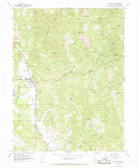
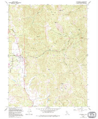
Editions of this 1967 Laytonville Map
3 editions found
Other maps of this area

1920 · Cummings
USGS Topo · 1:62,500

1920 · Covelo
USGS Topo · 1:62,500

1921 · Branscomb
USGS Topo · 1:62,500

1951 · Branscomb
USGS Topo · 1:62,500

1951 · Laytonville
USGS Topo · 1:62,500

1952 · Spyrock
USGS Topo · 1:62,500

1952 · Leggett
USGS Topo · 1:62,500

1957 · Ukiah
USGS Topo · 1:250,000

1960 · Ukiah
USGS Topo · 1:250,000
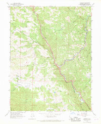
1966 · Longvale
USGS Topo · 1:24,000