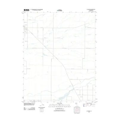
2012 Map of Le Grand
USGS Topo · Published 2012About this map
Agricultural development and water management define this Central Valley landscape southeast of Merced. The area is characterized by a precise grid of rural roads and large-scale farming operations, including Wells Nut Farm in the western portion and Reimer Farms to the south. Three significant seasonal waterways—Mariposa Cr, Deadman Cr, and Dutchman Cr—cut across the terrain from northeast to southwest, highlighting the natural drainage patterns of the valley floor. Transportation infrastructure is anchored by the diagonal corridor of Santa Fe Ave, which runs parallel to the rail line, intersecting major east-west arteries like Le Grand Rd and Buchanan Hollow Rd. This survey reflects the modern industrial scale of California's nut and crop production, where family-named roads like Harvey Petitt Rd and Raynor Ranch Rd demarcate expansive landholdings.
Find a feature on this map
38 named features on this map. Tap any name to fly to it.
Don’t see what you’re looking for? This feature index may not catch every label — zoom into the map to look around manually.
Map Details
Editions of this 2012 Le Grand Map
This is the sole edition of this map. No revisions or reprints were ever made.
Other maps of this area

1915 · Owens Creek
USGS Topo · 1:31,680

1916 · Berenda
USGS Topo · 1:31,680

1918 · Owens Creek
USGS Topo · 1:31,680

1918 · Chowchilla
USGS Topo · 1:31,680

1918 · Berenda
USGS Topo · 1:31,680

1918 · Planada
USGS Topo · 1:31,680

1918 · La Grand
USGS Topo · 1:31,680

1919 · Indian Gulch
USGS Topo · 1:48,000

1919 · Plainsberg
USGS Topo · 1:31,680

1919 · Raynor Creek
USGS Topo · 1:31,680