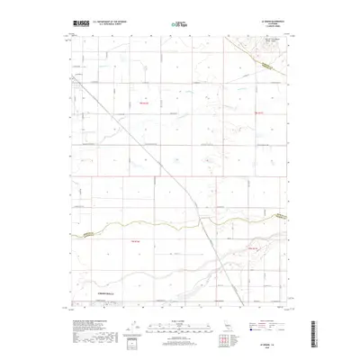
2018 Map of Le Grand
USGS Topo · Published 2018About this map
Chowchilla sits at the southern edge of this study of the Central San Joaquin Valley, where the landscape is defined by a dense grid of agricultural roads and seasonal watercourses. The northern reaches of the city meet the lower drainage of Berenda Slough, while further north, the terrain is cut by the winding paths of Dutchman Cr, Deadman Cr, and Mariposa Cr.
Find a feature on this map
49 named features on this map. Tap any name to fly to it.
Don’t see what you’re looking for? This feature index may not catch every label — zoom into the map to look around manually.
Map Details
Editions of this 2018 Le Grand Map
This is the sole edition of this map. No revisions or reprints were ever made.
Other maps of this area

1915 · Owens Creek
USGS Topo · 1:31,680

1916 · Berenda
USGS Topo · 1:31,680

1918 · Owens Creek
USGS Topo · 1:31,680

1918 · Chowchilla
USGS Topo · 1:31,680

1918 · Berenda
USGS Topo · 1:31,680

1918 · Planada
USGS Topo · 1:31,680

1918 · La Grand
USGS Topo · 1:31,680

1919 · Indian Gulch
USGS Topo · 1:48,000

1919 · Plainsberg
USGS Topo · 1:31,680

1919 · Raynor Creek
USGS Topo · 1:31,680