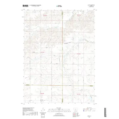
2018 Map of Le Roy
USGS Topo · Published 2018About this map
Le Roy sits near the southern edge of this landscape where Decatur and Wayne counties meet, serving as a focal point for a region defined by its winding waterways and rural cemeteries. The Chariton River and its various tributaries, including Brush Creek and Hamilton Creek, carve through the terrain, dictating the placement of early settlements and road networks. Genealogists will find a high concentration of burial sites, such as Smyrna Cem, Last Chance Cem, and Blair Cem, often located near small community centers like Smyrna and Last Chance.
Find a feature on this map
48 named features on this map. Tap any name to fly to it.
Don’t see what you’re looking for? This feature index may not catch every label — zoom into the map to look around manually.
Map Details
Editions of this 2018 Le Roy Map
This is the sole edition of this map. No revisions or reprints were ever made.
Other maps of this area

1918 · Chariton
USGS Topo · 1:62,500

1934 · Humeston
USGS Topo · 1:48,000

1937 · Corydon
USGS Topo · 1:62,500

1950 · New Virginia
USGS Topo · 1:62,500

1952 · New Virginia
USGS Topo · 1:62,500

1954 · Centerville
USGS Topo · 1:250,000

1954 · Des Moines
USGS Topo · 1:250,000

1956 · Des Moines
USGS Topo · 1:250,000

1957 · Des Moines
USGS Topo · 1:250,000

1957 · Centerville
USGS Topo · 1:250,000