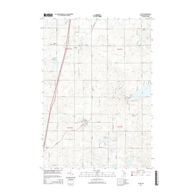
2014 Map of Le Roy
USGS Topo · Published 2014About this map
Tustin and Le Roy serve as the primary hubs in this portion of Osceola County, situated along the historic corridor of the Mackinaw Trl. The landscape is defined by a dense concentration of glacial lakes and small watercourses, including the notable Diamond Lake in the northwest and Rose Lake to the east. The drainage network is complex, with Lake Outlet and Diamond Lake Outlet Cr feeding into larger systems like the E Br Pine River.
Find a feature on this map
67 named features on this map. Tap any name to fly to it.
Don’t see what you’re looking for? This feature index may not catch every label — zoom into the map to look around manually.
Map Details
Editions of this 2014 Le Roy Map
This is the sole edition of this map. No revisions or reprints were ever made.
Other maps of this area

1931 · Chase NE
USGS Topo · 1:31,680

1933 · Luther SE
USGS Topo · 1:31,680

1954 · Traverse City
USGS Topo · 1:250,000

1954 · Midland
USGS Topo · 1:250,000

1957 · Cadillac South
USGS Topo · 1:62,500

1957 · Luther
USGS Topo · 1:62,500

1958 · Traverse City
USGS Topo · 1:250,000

1958 · Midland
USGS Topo · 1:250,000

1959 · Midland
USGS Topo · 1:250,000

1959 · Evart
USGS Topo · 1:62,500