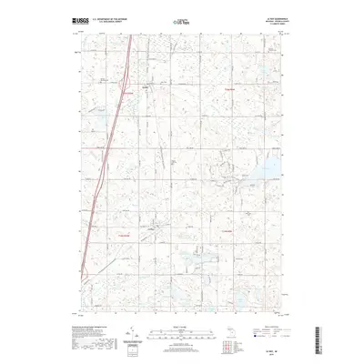
2019 Map of Le Roy
USGS Topo · Published 2019About this map
Le Roy and Tustin anchor this rural Osceola County landscape, where the long corridor of the Fred Meijer White Pine Trail State Park follows a historic rail path through the heart of the region. The map reveals a high density of small lakes and marshy basins characteristic of northern Michigan, including Rose Lake, Diamond Lake, and the tucked-away Silver Lake.
Find a feature on this map
58 named features on this map. Tap any name to fly to it.
Don’t see what you’re looking for? This feature index may not catch every label — zoom into the map to look around manually.
Map Details
Editions of this 2019 Le Roy Map
This is the sole edition of this map. No revisions or reprints were ever made.
Other maps of this area

1931 · Chase NE
USGS Topo · 1:31,680

1933 · Luther SE
USGS Topo · 1:31,680

1954 · Traverse City
USGS Topo · 1:250,000

1954 · Midland
USGS Topo · 1:250,000

1957 · Cadillac South
USGS Topo · 1:62,500

1957 · Luther
USGS Topo · 1:62,500

1958 · Traverse City
USGS Topo · 1:250,000

1958 · Midland
USGS Topo · 1:250,000

1959 · Midland
USGS Topo · 1:250,000

1959 · Evart
USGS Topo · 1:62,500