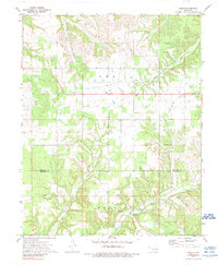
1972 Map of Leach
USGS Topo · Published 1989About this map
Leach serves as the central hub of this northeastern Oklahoma landscape, situated where the high plateaus of the Ozark foothills meet the drainage basins of Saline Creek and Spring Creek. The map reveals a deeply-etched topography of ridges and hollows, where rural life is anchored by a significant concentration of country churches and community cornerstones. From Timber Grove Ch in the west to Elm Ch and Buffalo Ch, these locations represent the social fabric of the era. The settlement at Lowery and the Leach Sch provide further evidence of the local infrastructure during the early 1970s. Along the southern boundary, the transition from Delaware into Cherokee County is marked by the winding course of Double Spring Creek, which passes through the M O O D Y S district near the Rockyford Ch.
Find a feature on this map
17 named features on this map. Tap any name to fly to it.
Don’t see what you’re looking for? This feature index may not catch every label — zoom into the map to look around manually.
Map Details
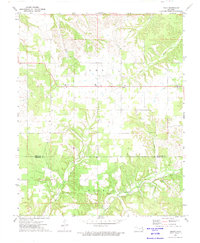
Editions of this 1972 Leach Map
2 editions found
Other maps of this area

1896 · Pryor
USGS Topo · 1:125,000

1899 · Siloam Springs
USGS Topo · 1:125,000

1901 · Pryor
USGS Topo · 1:125,000

1903 · Siloam Springs
USGS Topo · 1:125,000

1904 · Siloam Springs
USGS Topo · 1:125,000

1954 · Tulsa
USGS Topo · 1:250,000

1958 · Tulsa
USGS Topo · 1:250,000

1963 · Tulsa
USGS Topo · 1:250,000

1971 · Kenwood
USGS Topo · 1:24,000

1971 · Jay SE
USGS Topo · 1:24,000