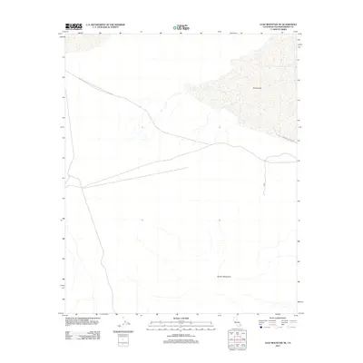
2012 Map of Lead Mountain NE
USGS Topo · Published 2012About this map
Bristol Lake dominates the northern expanse of this Mojave Desert landscape, appearing here as an expansive playa surface within the dry basin. To the south, the foothills of the Bullion Mountains rise from the desert floor, showing the drainage patterns and alluvial fans that characterize this arid region. The infrastructure is minimal, centered primarily on the Bristol Dry Lake Rd which skirts the southeastern edge of the dry lake bed. This 2012 survey illustrates a largely uninhabited and undisturbed section of San Bernardino County, where the topography is shaped more by tectonic and evaporative processes than by human development.
Find a feature on this map
3 named features on this map. Tap any name to fly to it.
Don’t see what you’re looking for? This feature index may not catch every label — zoom into the map to look around manually.
Map Details
Editions of this 2012 Lead Mountain NE Map
This is the sole edition of this map. No revisions or reprints were ever made.
Other maps of this area

1942 · Amboy
USGS Topo · 1:250,000

1943 · Amboy
USGS Topo · 1:250,000

1954 · Needles
USGS Topo · 1:250,000

1954 · Bristol Lake NW
USGS Topo · 1:24,000

1954 · Amboy Crater
USGS Topo · 1:24,000

1954 · Bagdad SW
USGS Topo · 1:24,000

1954 · Bristol Lake SW
USGS Topo · 1:24,000

1955 · Lead Mountain
USGS Topo · 1:24,000

1955 · Lead Mtn. NE
USGS Topo · 1:24,000

1955 · Lead Mountain SW
USGS Topo · 1:24,000