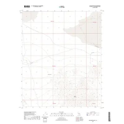
2018 Map of Lead Mountain NE
USGS Topo · Published 2018About this map
The Bullion Mountains dominate the southern portion of this high-desert landscape, rising sharply from the basin floor within the Mojave Desert of San Bernardino County. The map details a transition from the complex contour intervals of the mountain range to the more level terrain of the northern flats. Transport through this arid environment is marked by a handful of established desert routes, including the Bagdad Hwy, which cuts across the central-western section. To the northeast, the presence of America Mine Rd and Bristol Dry Lake Rd points to the region's history of mineral extraction and proximity to the evaporative basins that characterize this part of the California desert. The survey reflects the contemporary layout of public land divisions, mapping out numerous townships and ranges that overlay the natural topography.
Find a feature on this map
11 named features on this map. Tap any name to fly to it.
Don’t see what you’re looking for? This feature index may not catch every label — zoom into the map to look around manually.
Map Details
Editions of this 2018 Lead Mountain NE Map
This is the sole edition of this map. No revisions or reprints were ever made.
Other maps of this area

1942 · Amboy
USGS Topo · 1:250,000

1943 · Amboy
USGS Topo · 1:250,000

1954 · Needles
USGS Topo · 1:250,000

1954 · Bristol Lake NW
USGS Topo · 1:24,000

1954 · Amboy Crater
USGS Topo · 1:24,000

1954 · Bagdad SW
USGS Topo · 1:24,000

1954 · Bristol Lake SW
USGS Topo · 1:24,000

1955 · Lead Mountain
USGS Topo · 1:24,000

1955 · Lead Mtn. NE
USGS Topo · 1:24,000

1955 · Lead Mountain SW
USGS Topo · 1:24,000