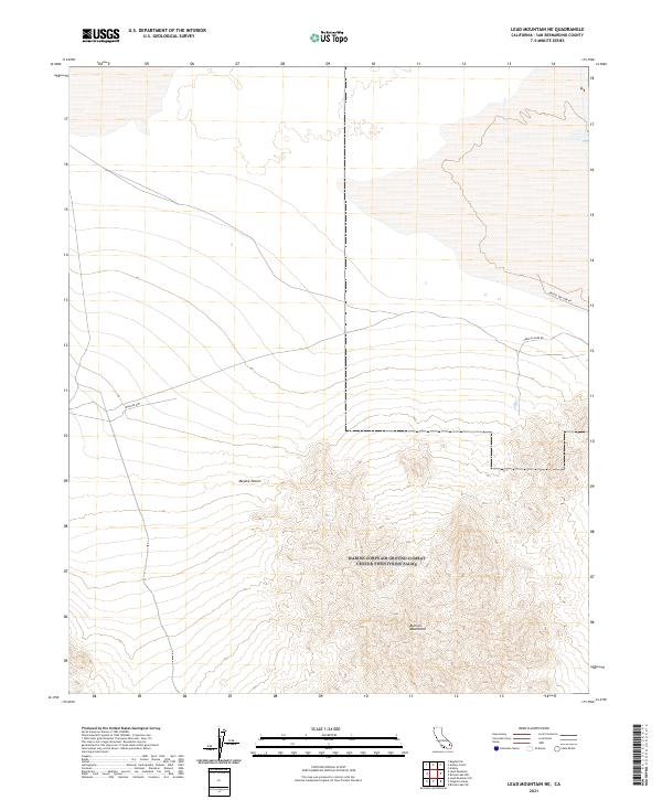
2021 Map of Lead Mountain NE
USGS Topo · Published 2021About this map
The Bullion Mountains rise sharply in the southeastern portion of this map, presenting a complex series of ridges and canyons that define the local topography. This arid expanse within the Mojave Desert is characterized by remote desert tracks and historical mining access, such as America Mine RD, which cuts across the northern desert floor. The landscape is primarily shaped by the contrast between the flat, open desert plains to the north and the jagged elevations of the southern peaks.
Find a feature on this map
11 named features on this map. Tap any name to fly to it.
Don’t see what you’re looking for? This feature index may not catch every label — zoom into the map to look around manually.
Map Details
Editions of this 2021 Lead Mountain NE Map
This is the sole edition of this map. No revisions or reprints were ever made.
Other maps of this area

1942 · Amboy
USGS Topo · 1:250,000

1943 · Amboy
USGS Topo · 1:250,000

1954 · Needles
USGS Topo · 1:250,000

1954 · Bristol Lake NW
USGS Topo · 1:24,000

1954 · Amboy Crater
USGS Topo · 1:24,000

1954 · Bagdad SW
USGS Topo · 1:24,000

1954 · Bristol Lake SW
USGS Topo · 1:24,000

1955 · Lead Mountain
USGS Topo · 1:24,000

1955 · Lead Mtn. NE
USGS Topo · 1:24,000

1955 · Lead Mountain SW
USGS Topo · 1:24,000