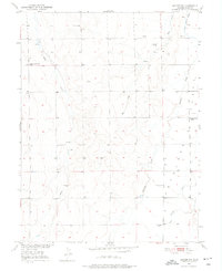
1951 Map of Leader NW
USGS Topo · Published 1976About this map
Mule Creek and Rock Creek carve through the high plains of eastern Adams County in this 1951 topographic study. The landscape is defined by its agricultural isolation, marked by a network of scattered windmills and intermittent water sources such as Little Antelope Creek. While much of the land remained dedicated to ranching and dryland farming, the presence of Coal Mines (Inactive) near the eastern boundary suggests an earlier period of small-scale resource extraction that had largely ceased by the mid-century.
Find a feature on this map
14 named features on this map. Tap any name to fly to it.
Don’t see what you’re looking for? This feature index may not catch every label — zoom into the map to look around manually.
Map Details
Editions of this 1951 Leader NW Map
2 editions found
Other maps of this area

1950 · South Roggen
USGS Topo · 1:24,000

1950 · Wiggins SW
USGS Topo · 1:24,000

1950 · Roper School
USGS Topo · 1:24,000

1950 · Hoyt
USGS Topo · 1:24,000

1951 · Hoyt
USGS Topo · 1:24,000

1951 · Roper School
USGS Topo · 1:24,000

1951 · Living Springs
USGS Topo · 1:24,000

1951 · Leader NW
USGS Topo · 1:24,000

1951 · Leader SE
USGS Topo · 1:24,000

1951 · Leader
USGS Topo · 1:24,000