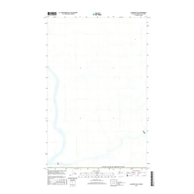
2017 Map of Leadpoint OE N
USGS Topo · Published 2017About this map
High-altitude mountain terrain and remote wilderness define this 2017 survey along the international border. The landscape is dominated by the prominent line marking the United States of America/Canada boundary, separating the northernmost reaches of Washington State from British Columbia. This modern digital survey provides a precise view of the topography at the edge of the Salmo Valley, where steep drainages and forested ridges transition across the 49th parallel. While contemporary in its production, the map captures a primitive and largely undeveloped frontier, illustrating the enduring isolation of this borderland region where the natural environment remains the primary feature.
Find a feature on this map
1 named feature on this map. Tap any name to fly to it.
Don’t see what you’re looking for? This feature index may not catch every label — zoom into the map to look around manually.
Map Details
Editions of this 2017 Leadpoint OE N Map
This is the sole edition of this map. No revisions or reprints were ever made.
Other maps of this area

1929 · Colville
USGS Topo · 1:125,000

1933 · Colville
USGS Topo · 1:125,000

1934 · Metaline
USGS Topo · 1:125,000

1942 · Metaline
USGS Topo · 1:125,000

1952 · Leadpoint
USGS Topo · 1:24,000

1952 · Boundary
USGS Topo · 1:24,000

1958 · Sandpoint
USGS Topo · 1:250,000

1963 · Sandpoint
USGS Topo · 1:250,000
1967 · Abercrombie Mtn
USGS Topo · 1:24,000
1984 · Colville
USGS Topo · 1:100,000