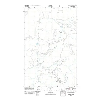
2011 Map of Leadpoint
USGS Topo · Published 2011About this map
Leadpoint serves as the central hub of this northern Washington landscape, which is defined by a dense concentration of historical mining operations and small-scale agriculture. The terrain between Red Top Mountain and Gladstone Mountain is heavily marked by the region's extraction history, featuring numerous named workings such as the Admiral Mine and Mill, Electric Point Mine, and the Iroquois Mine. These sites, connected by a network of forest roads like Hartbauer Rd and Silver Creek Rd, illustrate the intensive prospecting that occurred throughout the Stevens County highlands.
Find a feature on this map
52 named features on this map. Tap any name to fly to it.
Don’t see what you’re looking for? This feature index may not catch every label — zoom into the map to look around manually.
Map Details
Editions of this 2011 Leadpoint Map
This is the sole edition of this map. No revisions or reprints were ever made.
Other maps of this area

1929 · Colville
USGS Topo · 1:125,000

1933 · Colville
USGS Topo · 1:125,000

1934 · Metaline
USGS Topo · 1:125,000

1942 · Metaline
USGS Topo · 1:125,000

1952 · Spirit
USGS Topo · 1:24,000

1952 · Deep Lake
USGS Topo · 1:24,000

1952 · Leadpoint
USGS Topo · 1:24,000

1952 · Boundary
USGS Topo · 1:24,000

1958 · Sandpoint
USGS Topo · 1:250,000

1963 · Sandpoint
USGS Topo · 1:250,000