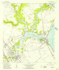
1955 Map of League City
USGS Topo · Published 1957About this map
League City and its neighbors along the shores of Clear Lake are shown here during a period of transition in the mid-1950s. The landscape is defined by the winding paths of Clear Creek, Taylor Lake, and Jarbo Bayou, which connect the inland settlements to Galveston Bay. Significant industrial and civic infrastructure is visible, including the Clear Lake Oil Field, a massive Oil Tank Farm, and the Harris County Boys Sch. The region's connection to the water is evident in the numerous piers and yacht basins at Seabrook and Kemah, while the local rail economy is represented by the Texas and New Orleans (Southern Pacific) railroad lines. Long-standing local landmarks like Fairview Cem and Galveston County Park provide valuable reference points for those tracing the development of this coastal corridor before the expansion of modern suburbs.
Find a feature on this map
49 named features on this map. Tap any name to fly to it.
Don’t see what you’re looking for? This feature index may not catch every label — zoom into the map to look around manually.
Map Details
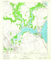
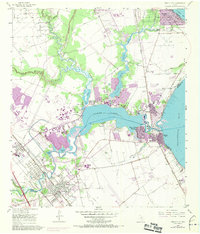
Editions of this 1955 League City Map
Other maps of this area

1915 · Deepwater
USGS Topo · 1:24,000

1916 · Genoa
USGS Topo · 1:24,000

1916 · Morgan Point
USGS Topo · 1:24,000

1916 · Seabrook
USGS Topo · 1:24,000

1916 · La Porte
USGS Topo · 1:24,000

1919 · Morgan Point
USGS Topo · 1:31,680

1919 · Deepwater
USGS Topo · 1:31,680

1920 · Seabrook
USGS Topo · 1:31,680

1920 · Genoa
USGS Topo · 1:31,680

1920 · La Porte
USGS Topo · 1:31,680