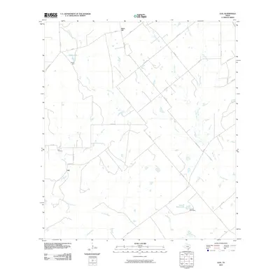
2010 Map of Leal
USGS Topo · Published 2010About this map
Leal and its surrounding ranchlands in Atascosa County are defined by the winding course of the Atascosa River and its numerous tributaries. This 2010 landscape shows a rural community where family names and ranching history are anchored to the land, evidenced by features such as Heinen Lake and the Lazy JP Ranch Lake. Local history is centered at the Leal Cemetery, located just north of the town center along Leal RD. The terrain is characterized by gentle drainage basins for Lucas Creek, Prieto Creek, and Borrego Creek, which feed into the primary river system. To the north, Black Hill rises as a distinct topographical marker in an area otherwise dominated by open range and managed water sources like Heinen Dam and the Lazy JP Ranch Dam. The road network, including FM 541 and numerous county roads, reflects a late-20th-century transition toward more organized rural infrastructure while maintaining the footprints of older farm-to-market routes.
Find a feature on this map
35 named features on this map. Tap any name to fly to it.
Don’t see what you’re looking for? This feature index may not catch every label — zoom into the map to look around manually.
Map Details
Editions of this 2010 Leal Map
This is the sole edition of this map. No revisions or reprints were ever made.
Other maps of this area

1931 · Falls City
USGS Topo · 1:62,500

1936 · Floresville
USGS Topo · 1:62,500

1953 · Crystal City
USGS Topo · 1:250,000

1954 · San Antonio
USGS Topo · 1:250,000

1955 · Crystal City
USGS Topo · 1:250,000

1956 · Pleasanton
USGS Topo · 1:62,500

1957 · San Antonio
USGS Topo · 1:250,000

1961 · Crystal City
USGS Topo · 1:250,000
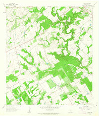
1961 · Dewees
USGS Topo · 1:24,000
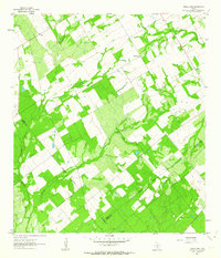
1961 · Three Oaks
USGS Topo · 1:24,000