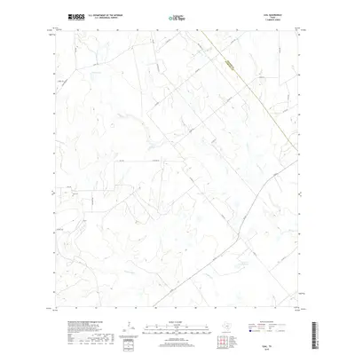
2019 Map of Leal
USGS Topo · Published 2019About this map
The Atascosa River winds through the southwestern corner of this landscape, anchoring a rural Texas environment defined by ranch land and drainage creeks. The small settlement of Leal serves as the local landmark, accompanied by the Leal Cem and family-named routes such as Jim Brite Rd and Jim Bright Rd. The terrain is characterized by a network of seasonal watercourses, including Lucas Cr, Prieto Cr, and Borrego Cr, which feed into the larger river system. Private land use is evident through the presence of Heinen Lake and Lazy JP Ranch Lake. The map also traces the jurisdictional boundary between Wilson and Atascosa counties, which cuts diagonally across the northeastern quadrant near Co Rd 142.
Find a feature on this map
35 named features on this map. Tap any name to fly to it.
Don’t see what you’re looking for? This feature index may not catch every label — zoom into the map to look around manually.
Map Details
Editions of this 2019 Leal Map
This is the sole edition of this map. No revisions or reprints were ever made.
Other maps of this area

1931 · Falls City
USGS Topo · 1:62,500

1936 · Floresville
USGS Topo · 1:62,500

1953 · Crystal City
USGS Topo · 1:250,000

1954 · San Antonio
USGS Topo · 1:250,000

1955 · Crystal City
USGS Topo · 1:250,000

1956 · Pleasanton
USGS Topo · 1:62,500

1957 · San Antonio
USGS Topo · 1:250,000

1961 · Crystal City
USGS Topo · 1:250,000
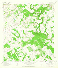
1961 · Dewees
USGS Topo · 1:24,000
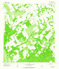
1961 · Three Oaks
USGS Topo · 1:24,000