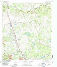
1987 Map of Leander
USGS Topo · Published 1987About this map
The Southern Pacific railroad corridor serves as the industrial spine for this region of Central Texas, connecting the growing communities of Leander and Cedar Park. Revised in the late 1980s, the landscape reveals a transition from rural ranching and limestone extraction, evidenced by a large Quarry and numerous Gravel Pits, toward residential expansion in areas like Walkerton. Family history is deeply rooted in the land, with several legacy burial grounds including Bagdad Cem, Upchurch Cem, and Wells Cem situated near the winding course of Brushy Creek. Smaller settlements such as White Stone and Cluck sit alongside established landmarks like the Kittie Hill Airport and Leander High Sch, while the northern reaches are defined by the rugged drainage of the South Fork San Gabriel River and its various springs.
Find a feature on this map
36 named features on this map. Tap any name to fly to it.
Don’t see what you’re looking for? This feature index may not catch every label — zoom into the map to look around manually.
Map Details
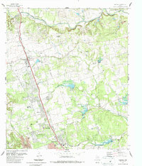
Editions of this 1987 Leander Map
2 editions found
Other maps of this area

1893 · Georgetown
USGS Topo · 1:125,000

1896 · Austin
USGS Topo · 1:125,000

1897 · Austin
USGS Topo · 1:125,000

1910 · Austin
USGS Topo · 1:125,000

1925 · Georgetown 4-b
USGS Topo · 1:48,000

1928 · Round Rock
USGS Topo · 1:62,500

1930 · Austin-2
USGS Topo · 1:48,000

1932 · Mt. Bonnell
USGS Topo · 1:62,500

1949 · Round Rock
USGS Topo · 1:62,500

1951 · Round Rock
USGS Topo · 1:62,500