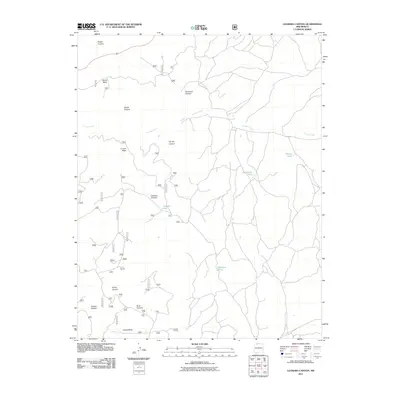
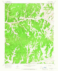
2011 Map of Leandro Canyon
USGS Topo · Published 2011About this map
La Jara Creek winds through this high-desert landscape in Rio Arriba County, carving a path between the prominent tablelands of Devils Mesa and La Jara Mesa. The terrain is defined by a series of deep drainage systems, including Leandro Canyon, Horse Canyon, and Buck Canyon, which converge toward the southern boundary near Chosa Mesa. Water management in this arid environment is evident through specific points like Leandro Tank and various seasonal catchments such as Bullsnake Pond and Phones Pond. A complex network of numbered forest and local roads, including routes like 301a1 and 357, provides access to the mesas and canyon floors, reflecting the area's use for ranching and resource management in the early 21st century.
Find a feature on this map
54 named features on this map. Tap any name to fly to it.
Don’t see what you’re looking for? This feature index may not catch every label — zoom into the map to look around manually.
Map Details
Editions of this 2011 Leandro Canyon Map
This is the sole edition of this map. No revisions or reprints were ever made.
Other maps of this area

1889 · Largo
USGS Topo · 1:250,000

1895 · Largo
USGS Topo · 1:250,000

1954 · Aztec
USGS Topo · 1:250,000

1958 · Aztec
USGS Topo · 1:250,000

1962 · Aztec
USGS Topo · 1:250,000
1963 · Espinosa Ranch
USGS Topo · 1:24,000

1963 · Gobernador
USGS Topo · 1:24,000
1963 · Cement Lake
USGS Topo · 1:24,000
1963 · John Mills Lake
USGS Topo · 1:24,000
1963 · Pine Lake
USGS Topo · 1:24,000