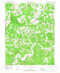
1948 Map of Leasburg
USGS Topo · Published 1968About this map
The St Louis San Francisco RR cuts a diagonal path through the northern half of this Crawford County landscape, anchoring the community of Leasburg and the stop at Hofflins. This 1948 survey shows a rural infrastructure defined by local school districts and country churches, with Sunnyside Sch, Matlock Sch, and Liberty Sch serving the surrounding homesteads. The terrain transitions from the rail-aligned settlements in the north to the winding course of the Meramec River and Clark National Forest in the south.
Find a feature on this map
30 named features on this map. Tap any name to fly to it.
Don’t see what you’re looking for? This feature index may not catch every label — zoom into the map to look around manually.
Map Details
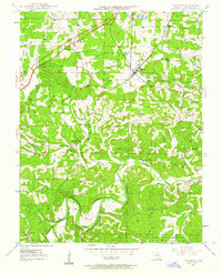
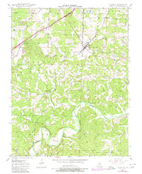
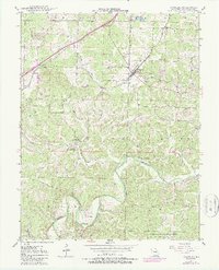
Editions of this 1948 Leasburg Map
5 editions found
Other maps of this area

1903 · Sullivan
USGS Topo · 1:125,000

1932 · Steelville
USGS Topo · 1:48,000

1933 · Steelville
USGS Topo · 1:62,500

1937 · Steelville
USGS Topo · 1:62,500

1943 · Berryman
USGS Topo · 1:62,500

1945 · Berryman
USGS Topo · 1:62,500

1947 · Sullivan
USGS Topo · 1:62,500

1948 · Cuba
USGS Topo · 1:24,000

1948 · Leasburg
USGS Topo · 1:24,000

1948 · Argo
USGS Topo · 1:24,000