
1948 Map of Leasburg
USGS Topo · Published 1948About this map
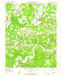
The St Louis San Francisco RR cuts diagonally through Crawford County, anchoring the town of Leasburg and the nearby rail stops at Hofflins and Coffeyton. This mid-century landscape is defined by the winding course of the Meramec River in the south and the sharp topography of Avery Hollow and Harman Valley. The mapping reveals a well-distributed network of rural infrastructure, including several family and community burial grounds such as Mc Nickle Cem and Haack Cem. Educational and spiritual life is marked by local landmarks like Sunnyside Sch, Liberty Sch, and the Mt Olive Ch, illustrating the settlement patterns before modern consolidation. Natural water sources like McKee Spring and Saranac Spring emerge from the hills, while a Lookout Tower stands as a prominent man-made feature within the forested terrain.
Find a feature on this map
31 named features on this map. Tap any name to fly to it.
Don’t see what you’re looking for? This feature index may not catch every label — zoom into the map to look around manually.
Map Details
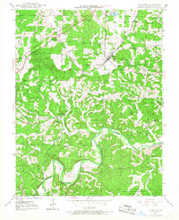
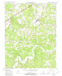
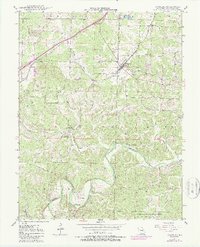
Editions of this 1948 Leasburg Map
5 editions found
Other maps of this area

1903 · Sullivan
USGS Topo · 1:125,000

1932 · Steelville
USGS Topo · 1:48,000

1933 · Steelville
USGS Topo · 1:62,500

1937 · Steelville
USGS Topo · 1:62,500

1943 · Berryman
USGS Topo · 1:62,500

1945 · Berryman
USGS Topo · 1:62,500

1947 · Sullivan
USGS Topo · 1:62,500

1948 · Cuba
USGS Topo · 1:24,000

1948 · Argo
USGS Topo · 1:24,000

1948 · Oak Hill
USGS Topo · 1:24,000