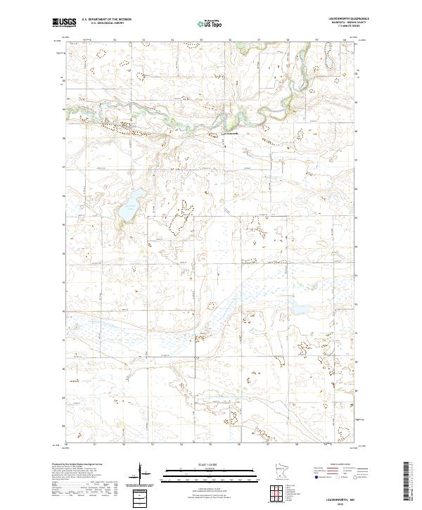
2022 Map of Leavenworth
USGS Topo · Published 2022About this map
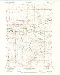
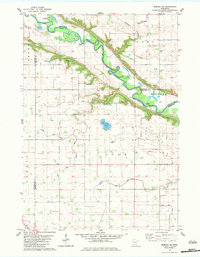
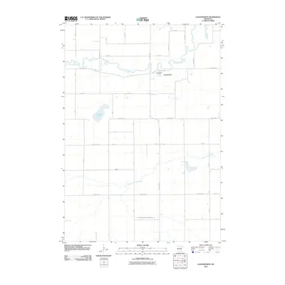
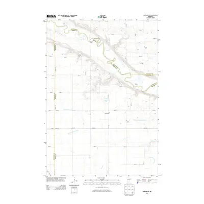
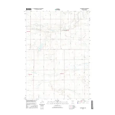
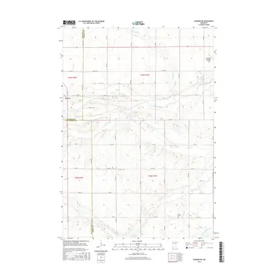
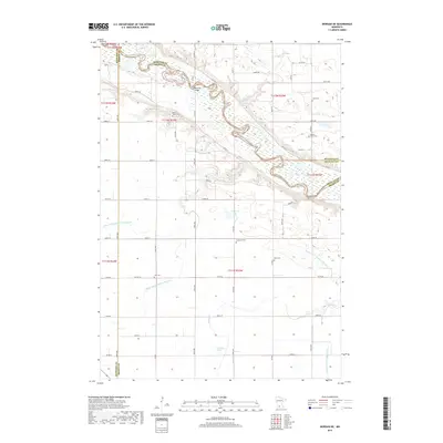
The Cottonwood River meanders across the northern portion of this agricultural landscape, where the small settlement of Leavenworth is situated along its southern bank. The terrain is defined by the winding paths of both the main river and the Little Cottonwood River to the south, reflecting a complex drainage pattern across Brown County. The map shows a transition from natural water bodies like Altermatt Lake to engineered agricultural waterways such as County Ditch Number Twenty-eight-one. A dense grid of rural roads, including 170th St and Co Hwy 100, provides access to the surrounding farmsteads. This 2022 survey captures the contemporary rural character of the region, where modern infrastructure intersects with the ancient river corridors that have long dictated the placement of local crossings and community centers.
Find a feature on this map
24 named features on this map. Tap any name to fly to it.
Don’t see what you’re looking for? This feature index may not catch every label — zoom into the map to look around manually.
Map Details
Editions of this 2022 Leavenworth Map
This is the sole edition of this map. No revisions or reprints were ever made.
Historical Maps of Leavenworth Through Time
30 maps found
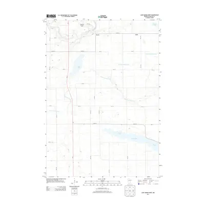
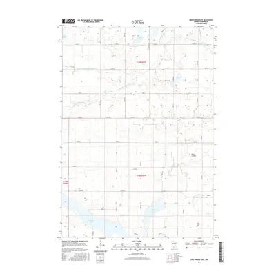
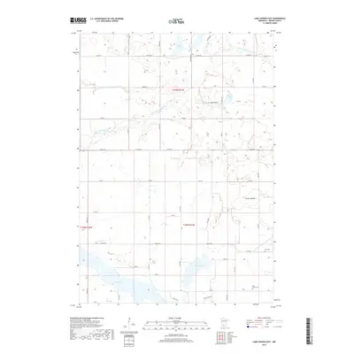
1967 Lake Hanska East
Brown County, MN
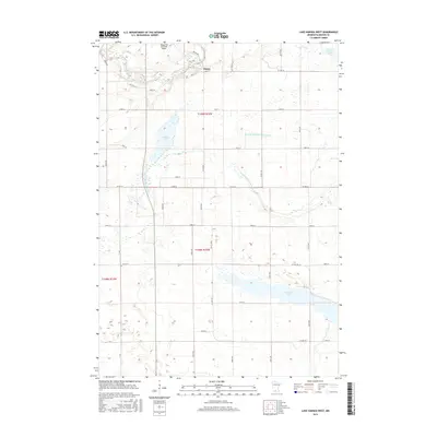
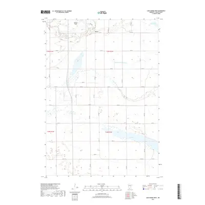
1967 Lake Hanska West
Brown County, MN
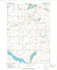
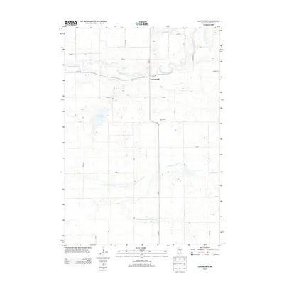
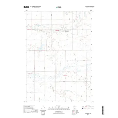
1967 Leavenworth
Brown County, MN
1967 Sanborn NE
Brown County, MN
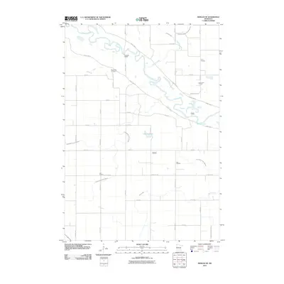
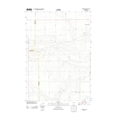
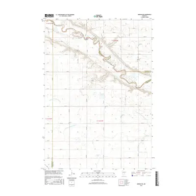
1982 Morgan NE
Brown County, MN
2010 Lake Hanska East
Brown County, MN
2010 Lake Hanska West
Brown County, MN
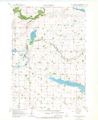
2010 Leavenworth
Brown County, MN
2010 Morgan NE
Brown County, MN
2010 Sanborn NE
Brown County, MN
2013 Lake Hanska East
Brown County, MN
2013 Lake Hanska West
Brown County, MN
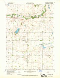
2013 Leavenworth
Brown County, MN
2013 Morgan NE
Brown County, MN
2013 Sanborn NE
Brown County, MN
2016 Lake Hanska East
Brown County, MN
2016 Lake Hanska West
Brown County, MN
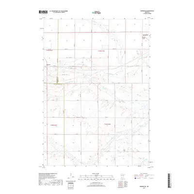
2016 Leavenworth
Brown County, MN
2016 Morgan NE
Brown County, MN
2016 Sanborn NE
Brown County, MN
2019 Lake Hanska East
Brown County, MN
2019 Lake Hanska West
Brown County, MN
2019 Leavenworth
Brown County, MN
2019 Morgan NE
Brown County, MN
2019 Sanborn NE
Brown County, MN
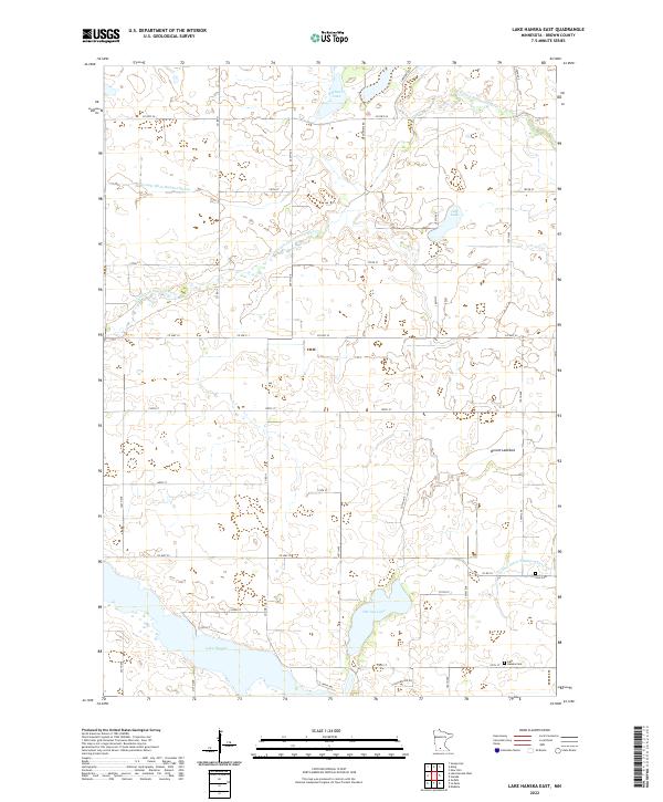
2022 Lake Hanska East
Brown County, MN
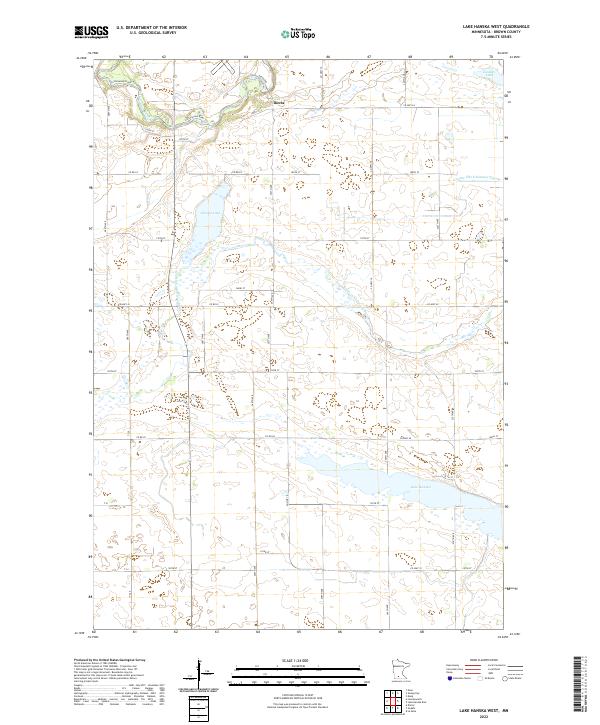
2022 Lake Hanska West
Brown County, MN
2022 Leavenworth
Brown County, MN
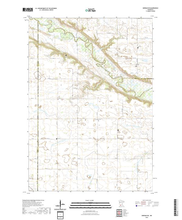
2022 Morgan NE
Brown County, MN
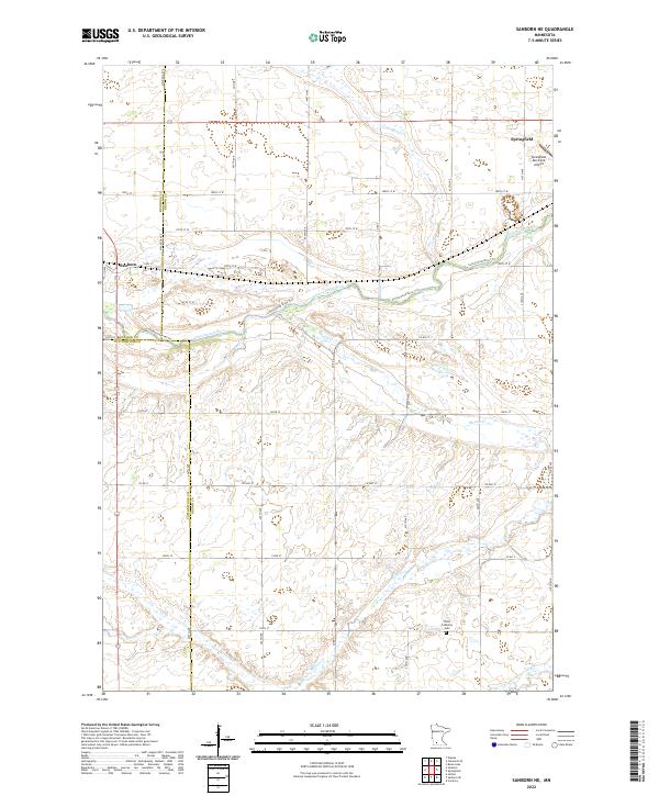
2022 Sanborn NE
Brown County, MN