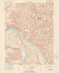
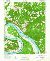
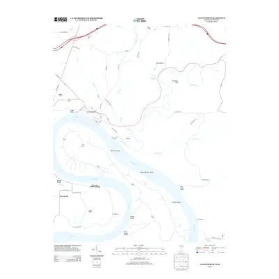
1950 Map of Leavenworth
USGS Topo · Published 1954About this map
The Ohio River dominates this mid-century landscape, carving dramatic bends along the border of Indiana and Kentucky. The town of Leavenworth serves as a primary riverfront hub, while the surrounding Harrison-Crawford State Forest covers the steep, dissected uplands. This survey details a river-based economy and geography just before significant modernization, capturing Lock No 44 and various landings used for navigation.
Find a feature on this map
44 named features on this map. Tap any name to fly to it.
Don’t see what you’re looking for? This feature index may not catch every label — zoom into the map to look around manually.
Map Details
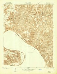
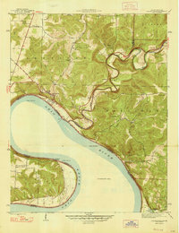
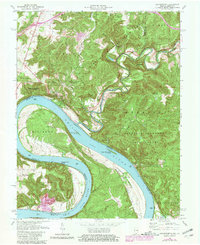
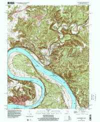
Editions of this 1950 Leavenworth Map
3 editions found
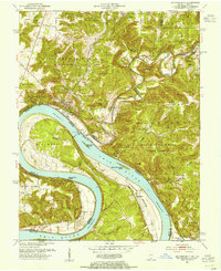
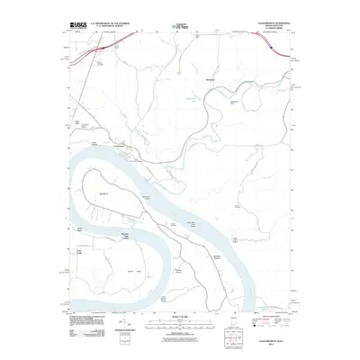
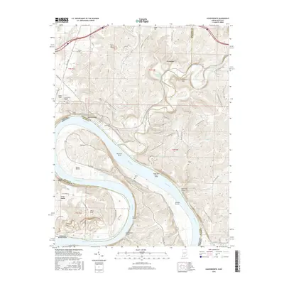
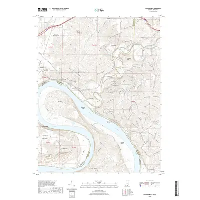
Historical Maps of Leavenworth Through Time
10 maps found
1946 Leavenworth
Crawford County, IN
1947 Leavenworth
Crawford County, IN
1950 Leavenworth
Crawford County, IN
1970 Leavenworth
Crawford County, IN
1998 Leavenworth
Crawford County, IN
2012 Leavenworth
Crawford County, IN
2013 Leavenworth
Crawford County, IN
2016 Leavenworth
Crawford County, IN
2019 Leavenworth
Crawford County, IN
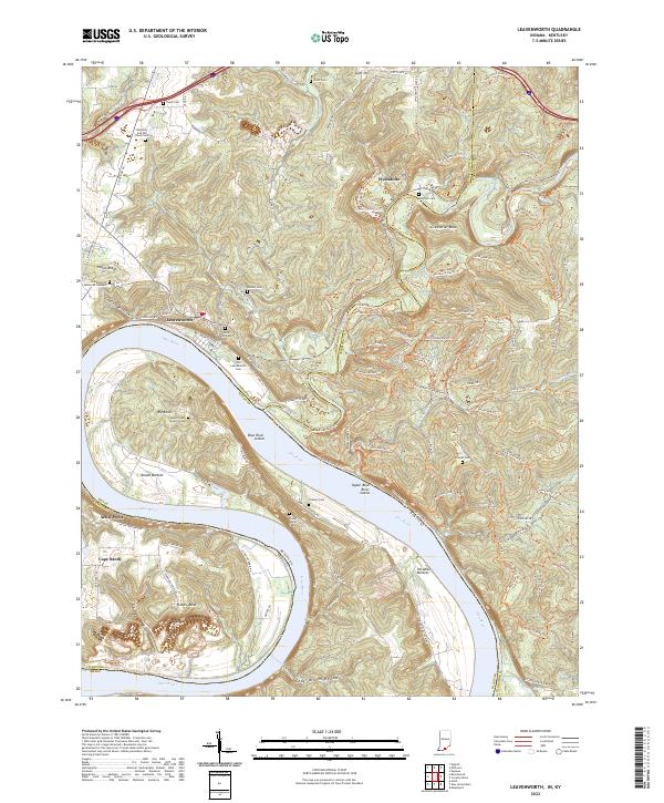
2022 Leavenworth
Crawford County, IN