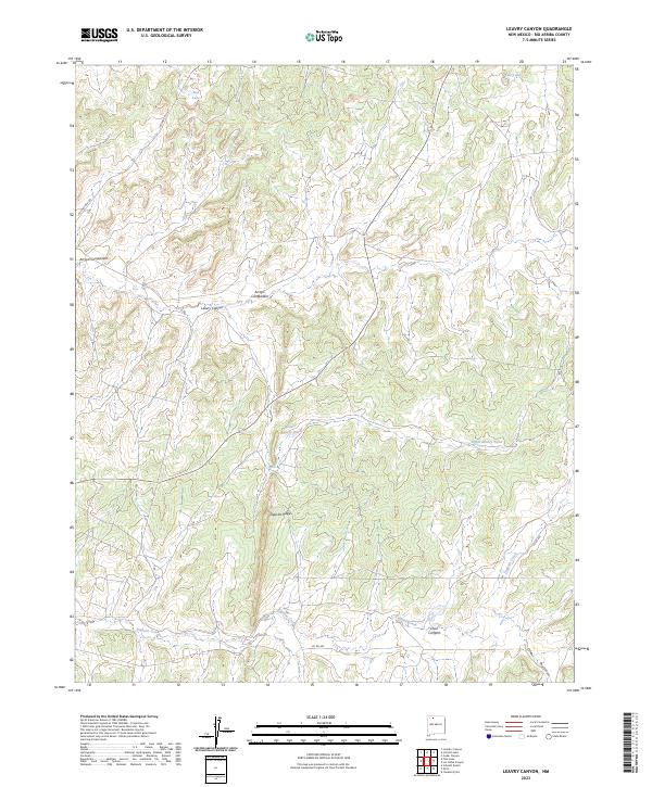
2023 Map of Leavry Canyon
USGS Topo · Published 2023About this map
Bassett Spring and the rugged drainage systems of the San Juan Basin define this part of Rio Arriba County. This high-altitude landscape is dominated by the deeply incised Leavry Canyon and the prominent Tapicito Ridge, which serves as a topographic divide between several dry washes and seasonal watercourses. The presence of Upper Leavry Pond and Lower Leavry Pond suggests a reliance on catchment points for livestock or local wildlife management in an otherwise arid environment.
Find a feature on this map
19 named features on this map. Tap any name to fly to it.
Don’t see what you’re looking for? This feature index may not catch every label — zoom into the map to look around manually.
Map Details
Editions of this 2023 Leavry Canyon Map
This is the sole edition of this map. No revisions or reprints were ever made.
Other maps of this area

1889 · Largo
USGS Topo · 1:250,000

1895 · Largo
USGS Topo · 1:250,000

1909 · Gallina
USGS Topo · 1:125,000

1954 · Aztec
USGS Topo · 1:250,000

1955 · Llaves
USGS Topo · 1:62,500

1955 · Boulder Lake
USGS Topo · 1:62,500

1958 · Aztec
USGS Topo · 1:250,000

1962 · Aztec
USGS Topo · 1:250,000

1963 · Schmitz Ranch
USGS Topo · 1:24,000
1963 · Ojito
USGS Topo · 1:24,000