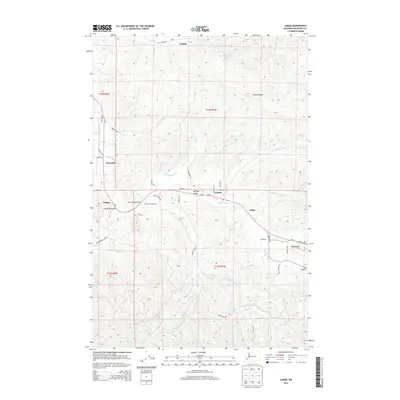
2013 Map of Lebam
USGS Topo · Published 2013About this map
The Willapa River valley serves as the central artery for this portion of Pacific County, connecting a string of small settlements and agricultural communities. This 2013 survey illustrates the continued importance of the river corridor, where Lebam, Globe, Frances, and Holcomb are linked by the Wa-6 highway. The landscape transitions from the flat river valley into the timbered slopes of P and E Ridge, with numerous drainages like Trap Cr, Fern Cr, and Forks Cr feeding into the main river system.
Find a feature on this map
58 named features on this map. Tap any name to fly to it.
Don’t see what you’re looking for? This feature index may not catch every label — zoom into the map to look around manually.
Map Details
Editions of this 2013 Lebam Map
This is the sole edition of this map. No revisions or reprints were ever made.
Other maps of this area

1940 · Brookfield
USGS Topo · 1:62,500

1941 · Walville
USGS Topo · 1:62,500

1941 · Skamokawa
USGS Topo · 1:62,500

1949 · Upper Naselle River
USGS Topo · 1:24,000

1953 · Hoquiam
USGS Topo · 1:250,000

1953 · Skamokawa
USGS Topo · 1:62,500

1953 · Pe Ell
USGS Topo · 1:62,500

1955 · Grays River
USGS Topo · 1:62,500

1955 · Raymond
USGS Topo · 1:62,500

1957 · Hoquiam
USGS Topo · 1:250,000