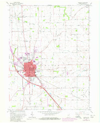
1963 Map of Lebanon
USGS Topo · Published 1980About this map
Lebanon serves as the focal point of this Boone County landscape, showing significant mid-century expansion through the addition of residential developments like Northfield Village, Ulen, and Brendan Wood. The intersection of agricultural life and civic infrastructure is evident in the presence of the County Farm Home, the Armory, and the expansive Oak Hill Cemetery. Transport and utility networks, including the Conrail lines and the Filtration Plant, anchor the local economy, while landmarks like the Drive-in Theater reflect the cultural era. The surrounding townships of Washington, Clinton, and Worth are marked by a network of drainage ditches and creeks, such as Browns Wonder Creek and Prairie Creek, which have historically managed the fertile Indiana plains for farming and settlement.
Find a feature on this map
61 named features on this map. Tap any name to fly to it.
Don’t see what you’re looking for? This feature index may not catch every label — zoom into the map to look around manually.
Map Details
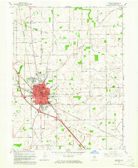
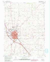
Editions of this 1963 Lebanon Map
3 editions found
Other maps of this area

1953 · Fayette
USGS Topo · 1:24,000

1953 · Rosston
USGS Topo · 1:24,000

1953 · Lizton
USGS Topo · 1:24,000

1953 · Zionsville
USGS Topo · 1:24,000

1953 · Lebanon
USGS Topo · 1:24,000

1953 · Danville
USGS Topo · 1:250,000

1953 · Indianapolis
USGS Topo · 1:250,000

1955 · Danville
USGS Topo · 1:250,000

1956 · Danville
USGS Topo · 1:250,000

1956 · Indianapolis
USGS Topo · 1:250,000