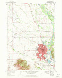
1969 Map of Lebanon
USGS Topo · Published 1971About this map
Lebanon and its surrounding Linn County countryside appear at a peak of rail and water integration in this late 1960s survey. The South Santiam River flows along the eastern edge of the city, feeding the Albany Santiam Canal which cuts westward across the valley floor. Transportation infrastructure is dense, with the Southern Pacific, Oregon Southern, and Oregon Electric Pacific railroads converging near the city center and the outlying settlement of Tallman. To the south, Peterson Butte rises sharply above the relatively flat plains of Burkhart Creek and Oak Creek, providing a prominent topographic landmark. Local history is well-preserved through numerous rural institutions, including the Tennessee Sch in the north and the Sand Ridge Cem and Sand Ridge Sch situated near the base of the butte. The map also captures the industrial footprint of the era, from the Gravel Pits along the river to the developed park systems like Weldwood Park and River Park.
Find a feature on this map
73 named features on this map. Tap any name to fly to it.
Don’t see what you’re looking for? This feature index may not catch every label — zoom into the map to look around manually.
Map Details
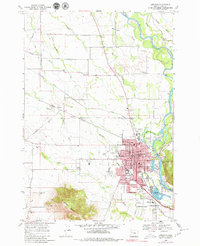
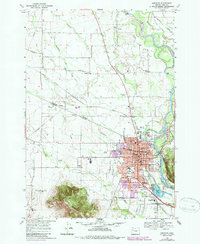
Editions of this 1969 Lebanon Map
3 editions found
Other maps of this area

1911 · Brownsville
USGS Topo · 1:31,680

1911 · Lebanon
USGS Topo · 1:31,680

1911 · Tangent
USGS Topo · 1:31,680

1912 · Jefferson
USGS Topo · 1:31,680

1912 · Halsey
USGS Topo · 1:62,500

1916 · Albany
USGS Topo · 1:62,500

1921 · Brownsville
USGS Topo · 1:62,500

1921 · Lebanon
USGS Topo · 1:62,500

1922 · Lebanon
USGS Topo · 1:48,000

1924 · Lebanon
USGS Topo · 1:62,500