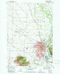
1969 Map of Lebanon
USGS Topo · Published 1987About this map
Lebanon and its surrounding Linn County landscape are defined by a complex network of water and rail as they appeared in the late 1960s. The Santiam River and its South Branch frame the eastern edge of the city, supplemented by vital industrial waterways like the Albany Santiam Canal and the Waterloo Santiam Canal. The local economy and transport are anchored by three major rail lines—the Southern Pacific, Burlington Southern, and Northern Pacific—which converge near settlements like Tallman and Irvinville.
Find a feature on this map
64 named features on this map. Tap any name to fly to it.
Don’t see what you’re looking for? This feature index may not catch every label — zoom into the map to look around manually.
Map Details
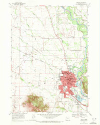
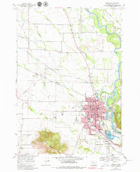
Editions of this 1969 Lebanon Map
3 editions found
Other maps of this area

1911 · Brownsville
USGS Topo · 1:31,680

1911 · Lebanon
USGS Topo · 1:31,680

1911 · Tangent
USGS Topo · 1:31,680

1912 · Jefferson
USGS Topo · 1:31,680

1912 · Halsey
USGS Topo · 1:62,500

1916 · Albany
USGS Topo · 1:62,500

1921 · Brownsville
USGS Topo · 1:62,500

1921 · Lebanon
USGS Topo · 1:62,500

1922 · Lebanon
USGS Topo · 1:48,000

1924 · Lebanon
USGS Topo · 1:62,500