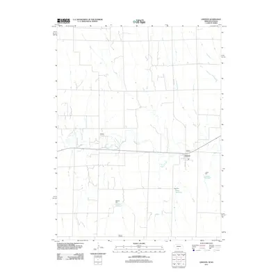
2011 Map of Lebanon
USGS Topo · Published 2011About this map
Beaver Creek meanders through this portion of Red Willow County, Nebraska, defining a landscape of agricultural utility and small-town infrastructure. At the center of the survey is Lebanon, where the Lebanon Post Office serves as a community anchor. The surrounding countryside is marked by several water management sites, including Matheny Reservoir and Matheny Dam, Haag Reservoir with its accompanying Haag Dam, and Halsey Reservoir.
Find a feature on this map
14 named features on this map. Tap any name to fly to it.
Don’t see what you’re looking for? This feature index may not catch every label — zoom into the map to look around manually.
Map Details
Editions of this 2011 Lebanon Map
This is the sole edition of this map. No revisions or reprints were ever made.
Other maps of this area

1951 · Norcatur
USGS Topo · 1:62,500

1951 · Kanona
USGS Topo · 1:62,500

1954 · McCook
USGS Topo · 1:250,000

1954 · Goodland
USGS Topo · 1:250,000

1956 · Goodland
USGS Topo · 1:250,000

1957 · McCook
USGS Topo · 1:250,000

1957 · Goodland
USGS Topo · 1:250,000

1957 · Shippee
USGS Topo · 1:24,000

1957 · Danbury
USGS Topo · 1:24,000

1957 · Lebanon
USGS Topo · 1:24,000