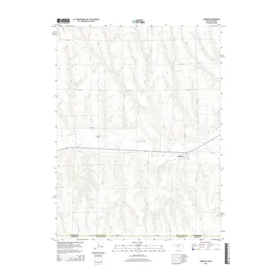
2014 Map of Lebanon
USGS Topo · Published 2014About this map
Beaver Cr meanders through this High Plains landscape, anchoring the small community of Lebanon just north of the Nebraska-Kansas border. This survey illustrates a quiet agricultural region defined by a grid of rural routes like Bartley Ave and Co Road 495, connecting scattered water sources such as Halsey Reservoir, Haag Reservoir, and Matheny Reservoir. The placement of Hamburg Cem and Redman Cem provides essential spatial data for genealogists tracing family histories in Red Willow and Decatur counties. The map reveals how local infrastructure adapts to the undulating terrain of the Republican River valley watershed, where small-scale water management and township roads form the primary human footprint on the land.
Find a feature on this map
18 named features on this map. Tap any name to fly to it.
Don’t see what you’re looking for? This feature index may not catch every label — zoom into the map to look around manually.
Map Details
Editions of this 2014 Lebanon Map
This is the sole edition of this map. No revisions or reprints were ever made.
Other maps of this area

1951 · Norcatur
USGS Topo · 1:62,500

1951 · Kanona
USGS Topo · 1:62,500

1954 · McCook
USGS Topo · 1:250,000

1954 · Goodland
USGS Topo · 1:250,000

1956 · Goodland
USGS Topo · 1:250,000

1957 · McCook
USGS Topo · 1:250,000

1957 · Goodland
USGS Topo · 1:250,000

1957 · Shippee
USGS Topo · 1:24,000

1957 · Danbury
USGS Topo · 1:24,000

1957 · Lebanon
USGS Topo · 1:24,000