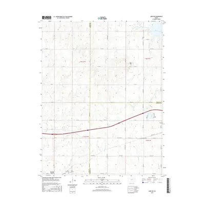
2015 Map of Lebo NW
USGS Topo · Published 2015About this map
Lebo and Neosho Rapids anchor this 2015 study of the borderlands where Osage, Lyon, and Coffey counties meet. The landscape is defined by the heavy infrastructure of the BNSF Railway and Interstate 50, which cut across a terrain shaped by the Marais des Cygnes River and the southern reaches of Melvern Lake. This intersection of major transport corridors and natural water systems reveals a modern rural economy still tied to the path of historic routes, including Old Hwy 50 NW. Local history is preserved in several small burial grounds, including Arvonia Cem and Mount Hope Cem, while the winding courses of Troublesome Cr and Laguater Br detail the complex drainage of the eastern Kansas plains. Notable elevation is found at Bebo Hill, standing above the surrounding network of creek-fed valleys.
Find a feature on this map
71 named features on this map. Tap any name to fly to it.
Don’t see what you’re looking for? This feature index may not catch every label — zoom into the map to look around manually.
Map Details
Editions of this 2015 Lebo NW Map
This is the sole edition of this map. No revisions or reprints were ever made.
Other maps of this area

1885 · Eskridge
USGS Topo · 1:125,000

1885 · Burlington
USGS Topo · 1:125,000

1888 · Emporia
USGS Topo · 1:125,000

1889 · Burlingame
USGS Topo · 1:125,000

1889 · Eskridge
USGS Topo · 1:125,000

1894 · Emporia
USGS Topo · 1:125,000

1894 · Eskridge
USGS Topo · 1:125,000

1894 · Burlingame
USGS Topo · 1:125,000

1894 · Burlington
USGS Topo · 1:125,000

1947 · Lawrence
USGS Topo · 1:250,000