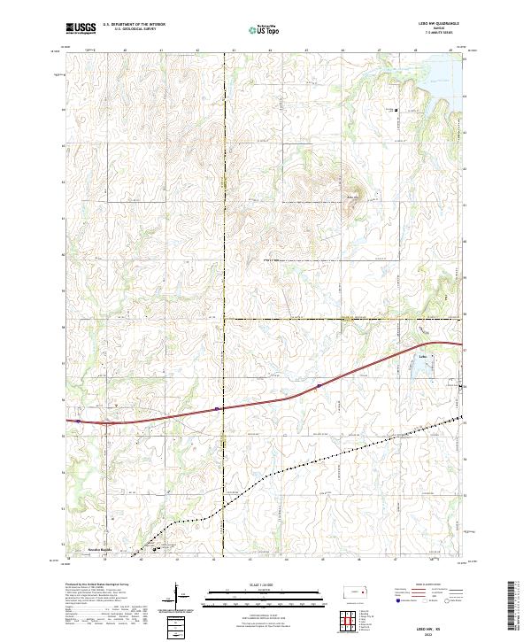
2022 Map of Lebo NW
USGS Topo · Published 2022About this map
The Marais des Cygnes River winds through the northeast corner of this Lyon County landscape, where it feeds into the western reaches of Melvern Lake. This agricultural region is defined by a dense network of local section roads and numerous small watercourses like Winnifred Creek and Puleston Creek. The settlement of Neosho Rapids sits in the southwest corner, while the town of Lebo occupies the eastern edge. For those researching local history, the map provides precise locations for several burial grounds, including the Arvonia Cem near the river and the adjacent Mount Hope Cem and Saint Lawrence Catholic Cem further south. The terrain is marked by significant points such as Bebo Hill, which stands between the creek valleys and the surrounding farmland.
Find a feature on this map
67 named features on this map. Tap any name to fly to it.
Don’t see what you’re looking for? This feature index may not catch every label — zoom into the map to look around manually.
Map Details
Editions of this 2022 Lebo NW Map
This is the sole edition of this map. No revisions or reprints were ever made.
Other maps of this area

1885 · Eskridge
USGS Topo · 1:125,000

1885 · Burlington
USGS Topo · 1:125,000

1888 · Emporia
USGS Topo · 1:125,000

1889 · Burlingame
USGS Topo · 1:125,000

1889 · Eskridge
USGS Topo · 1:125,000

1894 · Emporia
USGS Topo · 1:125,000

1894 · Eskridge
USGS Topo · 1:125,000

1894 · Burlingame
USGS Topo · 1:125,000

1894 · Burlington
USGS Topo · 1:125,000

1947 · Lawrence
USGS Topo · 1:250,000