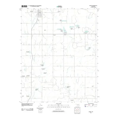
2010 Map of Leedey
USGS Topo · Published 2010About this map
Leedey serves as the primary hub of this Dewey County landscape, situated at the intersection of a grid-iron road network. The topography is defined by the headwaters of several drainage systems, notably Wild Horse Creek, West Barnitz Creek, and the North Branch Quartermaster Creek. This 2010 survey illustrates a modern water management system, characterized by a series of numbered flood control structures and reservoirs, such as Barnitz Creek Site 115 Reservoir and Barnitz Creek Site 1a Reservoir.
Find a feature on this map
52 named features on this map. Tap any name to fly to it.
Don’t see what you’re looking for? This feature index may not catch every label — zoom into the map to look around manually.
Map Details
Editions of this 2010 Leedey Map
This is the sole edition of this map. No revisions or reprints were ever made.
Other maps of this area

1955 · Clinton
USGS Topo · 1:250,000

1957 · Clinton
USGS Topo · 1:250,000

1957 · Butler
USGS Topo · 1:62,500

1960 · Hammon
USGS Topo · 1:62,500

1961 · Leedey
USGS Topo · 1:62,500

1962 · Aledo
USGS Topo · 1:62,500

1976 · Butler NW
USGS Topo · 1:24,000
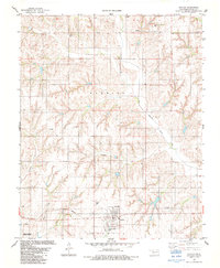
1983 · Butler
USGS Topo · 1:24,000

1984 · Foss Reservoir
USGS Topo · 1:100,000
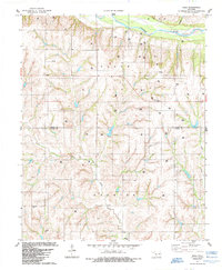
1984 · Rhea
USGS Topo · 1:24,000