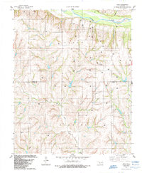
1984 Map of Rhea
USGS Topo · Published 1985About this map
Canadian River frontage and the dissected uplands of the Clark and Barnitz townships define this Western Oklahoma landscape during the mid-1980s. The settlement of Rhea serves as a local focal point, though the map's primary detail lies in the extensive network of energy extraction infrastructure, including numerous Oil Wells, Gas Wells, and a prominent Pipeline crossing the northern terrain.
Find a feature on this map
16 named features on this map. Tap any name to fly to it.
Don’t see what you’re looking for? This feature index may not catch every label — zoom into the map to look around manually.
Map Details
Editions of this 1984 Rhea Map
This is the sole edition of this map. No revisions or reprints were ever made.
Other maps of this area

1955 · Clinton
USGS Topo · 1:250,000

1957 · Clinton
USGS Topo · 1:250,000

1957 · Butler
USGS Topo · 1:62,500

1960 · Hammon
USGS Topo · 1:62,500

1961 · Leedey
USGS Topo · 1:62,500

1962 · Aledo
USGS Topo · 1:62,500

1976 · Butler NW
USGS Topo · 1:24,000

1976 · Butler NE
USGS Topo · 1:24,000
1983 · Anthon
USGS Topo · 1:24,000
1983 · Butler
USGS Topo · 1:24,000