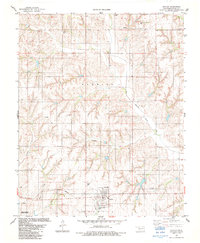
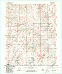
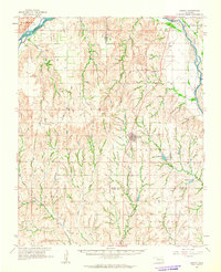
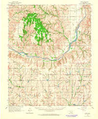
1983 Map of Butler
USGS Topo · Published 1984About this map
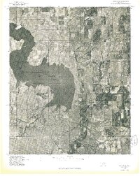
Butler serves as the central hub of this Custer County landscape, situated where the terrain begins to slope toward the Washita National Wildlife Refuge in the southwest. The town is surrounded by a network of seasonal and perennial waterways, including the winding Barnitz Creek and its western tributaries like Crooked Creek. For genealogists and local historians, several rural burial sites are documented across the plains, such as Shiloh Cem in the north and Osceola Cem further east, alongside the Butler Cem near the town center.
Find a feature on this map
20 named features on this map. Tap any name to fly to it.
Don’t see what you’re looking for? This feature index may not catch every label — zoom into the map to look around manually.
Map Details
Editions of this 1983 Butler Map
2 editions found
Other maps of this area

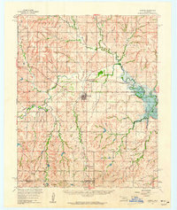
1955 · Clinton
USGS Topo · 1:250,000

1957 · Clinton
USGS Topo · 1:250,000
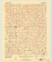
1957 · Butler
USGS Topo · 1:62,500
1960 · Hammon
USGS Topo · 1:62,500
1961 · Leedey
USGS Topo · 1:62,500
1962 · Aledo
USGS Topo · 1:62,500
1976 · Butler NW
USGS Topo · 1:24,000
1976 · Butler NE
USGS Topo · 1:24,000
1976 · Butler SW
USGS Topo · 1:24,000
1976 · Butler SE
USGS Topo · 1:24,000