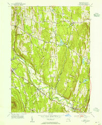
1953 Map of Leeds
USGS Topo · Published 1955About this map
Catskill Creek winds through the heart of Greene County, serving as a primary drainage for the agricultural and upland terrain between Cairo and Leeds. This mid-century landscape is defined by its deep genealogical footprint, evidenced by a high density of small family and community burial grounds such as Waldron Cem, Butler Cem, and the Morley Hollow Cem. The settlement pattern reflects a rural economy transitioning from traditional farming to a service and leisure corridor, with Cairo Junction and Earlton linked by local roads that follow historical paths like the Mohican Trail.
Find a feature on this map
48 named features on this map. Tap any name to fly to it.
Don’t see what you’re looking for? This feature index may not catch every label — zoom into the map to look around manually.
Map Details
Editions of this 1953 Leeds Map
4 editions found
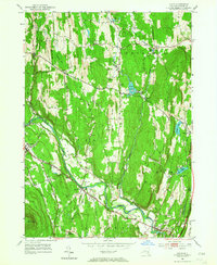
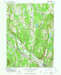
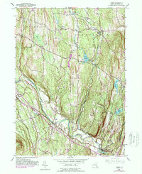
Other maps of this area

1892 · Kaaterskill
USGS Topo · 1:62,500

1893 · Kaaterskill
USGS Topo · 1:62,500

1893 · Coxsackie
USGS Topo · 1:62,500

1893 · Durham
USGS Topo · 1:62,500

1894 · Coxsackie
USGS Topo · 1:62,500

1894 · Kaaterskill
USGS Topo · 1:62,500

1894 · Durham
USGS Topo · 1:62,500

1895 · Catskill
USGS Topo · 1:62,500

1899 · Kaaterskill
USGS Topo · 1:62,500

1903 · Kaaterskill
USGS Topo · 1:62,500