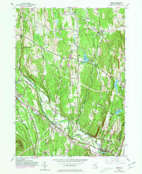
1953 Map of Leeds
USGS Topo · Published 1981About this map
Catskill Creek winds through the heart of this Greene County landscape, anchoring the valley as it passes through Leeds and South Cairo. The map captures a transitional moment where early rural infrastructure, such as School No 9 and numerous family cemeteries like Walborn-Brandow Cem and Honey Hollow Cem, coexists with mid-century developments like the Sport Haven Airport. The topography is dominated by the north-south orientation of Indian Ridge and the heights of Potic Mountain, forcing transport and settlement into the Sand Plain and along the Mohican Trail. Notable water management is evident at the Potuck Reservoir and its associated Filtration Plant, while the village of Cairo serves as a primary hub west of the significant rise of Cairo Round Top.
Find a feature on this map
49 named features on this map. Tap any name to fly to it.
Don’t see what you’re looking for? This feature index may not catch every label — zoom into the map to look around manually.
Map Details
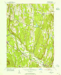
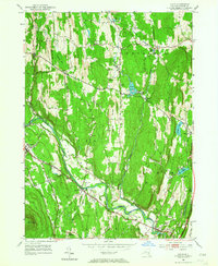
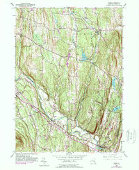
Editions of this 1953 Leeds Map
4 editions found
Other maps of this area

1892 · Kaaterskill
USGS Topo · 1:62,500

1893 · Kaaterskill
USGS Topo · 1:62,500

1893 · Coxsackie
USGS Topo · 1:62,500

1893 · Durham
USGS Topo · 1:62,500

1894 · Coxsackie
USGS Topo · 1:62,500

1894 · Kaaterskill
USGS Topo · 1:62,500

1894 · Durham
USGS Topo · 1:62,500

1895 · Catskill
USGS Topo · 1:62,500

1899 · Kaaterskill
USGS Topo · 1:62,500

1903 · Kaaterskill
USGS Topo · 1:62,500