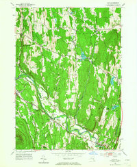
1953 Map of Leeds
USGS Topo · Published 1964About this map
Catskill Creek flows through the heart of Greene County, shaping the settlement patterns of Leeds and South Cairo during the mid-twentieth century. The landscape is defined by the sharp rise of Cairo Round Top and the long north-south spine of Indian Ridge, which separates the industrial operations at the Filtration Plant near Potuck Reservoir from the more rural stretches of Coxsackie and Athens. Genealogists will find a high concentration of family-named burial grounds, such as the Honey Hollow Cem and Waldron-Brandow Cem, suggesting deeply rooted local lineages in the agricultural uplands. Transportation is dominated by the Mohican Trail, which follows the ancient path of the creek valley, connecting the hamlet of Cairo with the riverward towns. The area's water resources are well-documented, from the modest Mill Pond to larger bodies like Greens Lake and Hollister Lake, supporting a mix of early industry and recreation.
Find a feature on this map
50 named features on this map. Tap any name to fly to it.
Don’t see what you’re looking for? This feature index may not catch every label — zoom into the map to look around manually.
Map Details
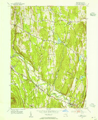
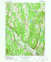
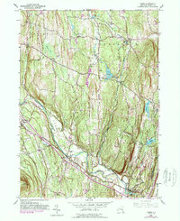
Editions of this 1953 Leeds Map
4 editions found
Other maps of this area

1892 · Kaaterskill
USGS Topo · 1:62,500

1893 · Kaaterskill
USGS Topo · 1:62,500

1893 · Coxsackie
USGS Topo · 1:62,500

1893 · Durham
USGS Topo · 1:62,500

1894 · Coxsackie
USGS Topo · 1:62,500

1894 · Kaaterskill
USGS Topo · 1:62,500

1894 · Durham
USGS Topo · 1:62,500

1895 · Catskill
USGS Topo · 1:62,500

1899 · Kaaterskill
USGS Topo · 1:62,500

1903 · Kaaterskill
USGS Topo · 1:62,500