
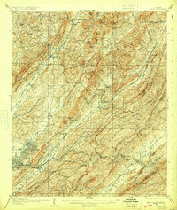
1907 Map of Leeds
USGS Topo · Published 1907About this map
Industrial and agrarian life intersect in this 1907 survey of Jefferson County, where the iron-and-steel boom radiating from Birmingham begins to define the landscape. The Cahaba River and its many tributaries, including Turkey Creek and Black Creek, carve through a series of prominent ridges such as Sand Mountain and Red Mountain. Early industrial activity is evident at the Alfretta Mines and the Lacy Duke Furnace, while the Leeds Mineral Well suggests a different type of natural resource draw.
Find a feature on this map
93 named features on this map. Tap any name to fly to it.
Don’t see what you’re looking for? This feature index may not catch every label — zoom into the map to look around manually.
Map Details
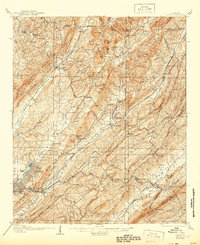
Editions of this 1907 Leeds Map
3 editions found
Other maps of this area

1889 · Springville
USGS Topo · 1:125,000

1889 · Birmingham
USGS Topo · 1:125,000

1890 · Bessemer
USGS Topo · 1:125,000

1890 · Talladega
USGS Topo · 1:125,000

1892 · Birmingham
USGS Topo · 1:125,000

1892 · Springville
USGS Topo · 1:125,000

1892 · Talladega
USGS Topo · 1:125,000

1892 · Bessemer
USGS Topo · 1:125,000

1895 · Birmingham
USGS Topo · 1:125,000

1904 · Birmingham Coal District
USGS Topo · 1:62,500