
1971 Map of Leeds NE
USGS Topo · Published 1973About this map
Twin Lakes and its surrounding wetlands dominate this 1971 survey of Towner County, reflecting a landscape defined by prairie potholes and migratory bird habitats. The area is largely dedicated to conservation, featuring both the Johnson National Wildlife Refuge in the northern portion and the Twin Lakes National Wildlife Refuge centrally located. These protected lands emphasize the region's importance within the northern plains ecosystem. Outside the refuges, the land is marked by township divisions such as Olson, Atkins, and Springfield. Human activity is sparse, noted primarily by a scattered network of section roads and a small Gravel Pit in the eastern hills. The map provides a detailed view of the terrain before modern agricultural consolidation, preserving the intricate drainage patterns and small water bodies that characterize this part of North Dakota.
Find a feature on this map
12 named features on this map. Tap any name to fly to it.
Don’t see what you’re looking for? This feature index may not catch every label — zoom into the map to look around manually.
Map Details
Editions of this 1971 Leeds NE Map
This is the sole edition of this map. No revisions or reprints were ever made.
Other maps of this area

1953 · Devils Lake
USGS Topo · 1:250,000

1956 · Devils Lake
USGS Topo · 1:250,000

1957 · Cando
USGS Topo · 1:24,000

1957 · Churchs Ferry
USGS Topo · 1:24,000

1962 · Egeland SW
USGS Topo · 1:24,000

1971 · Bisbee South
USGS Topo · 1:24,000

1971 · Considine
USGS Topo · 1:24,000

1971 · Leeds
USGS Topo · 1:24,000
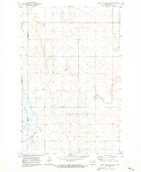
1971 · Hurricane Lake East
USGS Topo · 1:24,000
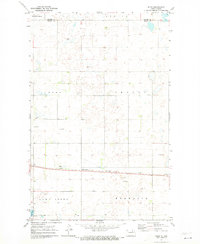
1971 · Niles
USGS Topo · 1:24,000