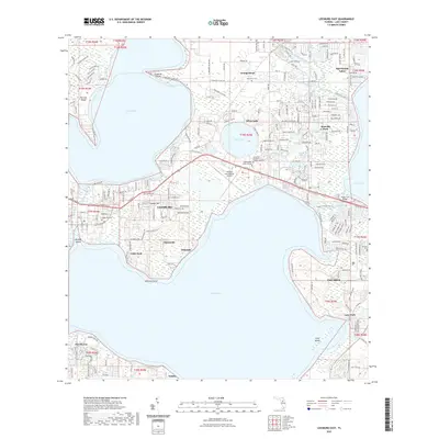
2021 Map of Leesburg East
USGS Topo · Published 2021About this map
The sprawling waterways of Lake Harris and Lake Griffin dominate this central Florida landscape, anchoring a region defined by its interconnected lakes and residential expansion. The city of Leesburg and the town of Tavares serve as primary hubs, connected by the waters of the Dead River and the Lake Eustis Run Trail. Small communities like Sunnyside, Eldorado, and Orange Bend dot the shoreline, reflecting the area's long-standing appeal for lakeside living. Educational and infrastructure landmarks are prominent, including Lake-Sumter State College and the Leesburg International Airport. For genealogists, the map preserves the locations of several burial grounds such as Oak Grove Cem and Lane Park Cem, providing essential points of reference for local family history research in Lake County.
Find a feature on this map
67 named features on this map. Tap any name to fly to it.
Don’t see what you’re looking for? This feature index may not catch every label — zoom into the map to look around manually.
Map Details
Editions of this 2021 Leesburg East Map
This is the sole edition of this map. No revisions or reprints were ever made.
Other maps of this area

1955 · Orlando
USGS Topo · 1:250,000

1957 · Orlando
USGS Topo · 1:250,000

1958 · Orlando
USGS Topo · 1:250,000

1962 · Orlando
USGS Topo · 1:250,000

1962 · Astatula
USGS Topo · 1:24,000

1965 · Leesburg East
USGS Topo · 1:24,000

1965 · Umatilla
USGS Topo · 1:24,000

1966 · Leesburg West
USGS Topo · 1:24,000
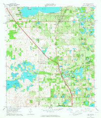
1966 · Lady Lake
USGS Topo · 1:24,000
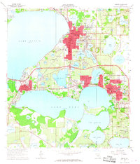
1966 · Eustis
USGS Topo · 1:24,000