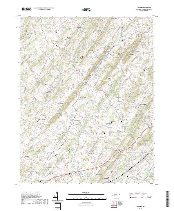
2022 Map of Leesburg
USGS Topo · Published 2022About this map
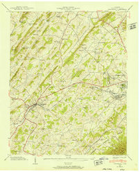
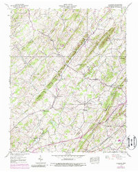
Jonesborough, Tennessee’s oldest town, anchors the eastern edge of this landscape where the undulating ridges of Dosser Ridge and Wassom Ridge meet the fertile valleys of Big Limestone Creek. The settlement pattern revealed here is deeply rooted in 18th and 19th-century history, characterized by numerous small communities such as Leesburg, Telford, and Bowmantown. These hamlets are often centered around early spiritual and social hubs, evidenced by a high density of family and community burial grounds including the Bowmantown-Philadelphia Cem, Luther Zion Cem, and De Vault Cem.
Find a feature on this map
250 named features on this map. Tap any name to fly to it.
Don’t see what you’re looking for? This feature index may not catch every label — zoom into the map to look around manually.
Map Details
Editions of this 2022 Leesburg Map
This is the sole edition of this map. No revisions or reprints were ever made.
Historical Maps of Locust Mount Through Time
11 maps found

1935 Beaver Creek
Washington County, TN

1935 Grayson
Washington County, TN
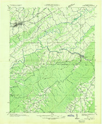
1935 Jonesboro
Washington County, TN

1935 Leesburg
Washington County, TN
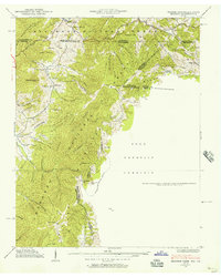
1935 River Knobs
Washington County, TN
1938 Grayson
Washington County, TN
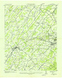
1939 Jonesboro
Washington County, TN
1939 Leesburg
Washington County, TN
1959 Grayson
Washington County, TN
2003 Grayson
Washington County, TN
2022 Leesburg
Washington County, TN